Río Chili
The río Chili flows through Arequipa along volcanic sillar cliffs. Its banks offer views of Mount Misti and easy access to nature just steps from the historic center.
The río Chili cuts through Arequipa from north to south, carving a deep valley at the foot of the volcanoes Misti, Chachani and Pichu Pichu. This Andean river has sustained the city for centuries, shaped its periurban landscapes and now offers a natural corridor cherished by residents and visitors alike seeking fresh air just steps from the historic center.
Quick practical information
- Access: the riverbanks are accessible on foot from the Yanahuara neighborhood and Selva Alegre park, with no entry fee.
- Suggested duration: 1 to 2 hours for a walk along the improved paths.
- Dress code: no restrictions; wear comfortable shoes for the dirt trails.
What you'll see
The río Chili flows between cliffs of white volcanic rock — sillar, the stone characteristic of Arequipa. The banks alternate between vegetated areas, terraced market gardens and rocky passages. On clear days, the perfect cone of Mount Misti reflects in the calm waters upstream of the city. Herons, ducks and occasionally kingfishers frequent the banks.
History and context
The río Chili shaped the settlement of pre-Hispanic populations in the Arequipa valley. The Incas developed irrigation systems here that still water some agricultural terraces today. When the Spanish founded the city in 1540, the river served as a natural boundary and water source for the first mills. Several historic floods remain etched in the city's collective memory.
Highlights of your visit
The Yanahuara viewpoint
From this vantage point in the Yanahuara neighborhood, the view overlooks the Chili valley with Mount Misti in the background. It's one of Arequipa's most photographed viewpoints, accessible on foot from the center in about twenty minutes.
Selva Alegre park
This municipal park borders the right bank of the Chili. Pink flamingos and other birds are sometimes visible in the basins. It's a favorite relaxation spot for Arequipan families on weekends.
The Chilina gorges
Following the river upstream to the east, the valley narrows into spectacular gorges. Hiking trails run along the sillar cliffs, offering views of terraced crops and surrounding volcanoes.
Photography tips
Morning light is ideal for photographing Mount Misti reflected in the river, before heat haze veils the peaks. From the Yanahuara viewpoint, sunset tints the sillar in ochre and pink. Avoid midday; the light is harsh and volcanoes are often shrouded in mist.
Location and access
The río Chili flows through Arequipa from east to west before running alongside the city center. The most convenient access points are from the Yanahuara neighborhood to the northwest and from Selva Alegre park. Arequipa's historic center is less than thirty minutes' walk from the nearest banks. No special transport is needed; taxis and mototaxis easily service the main access points.
Nearby attractions
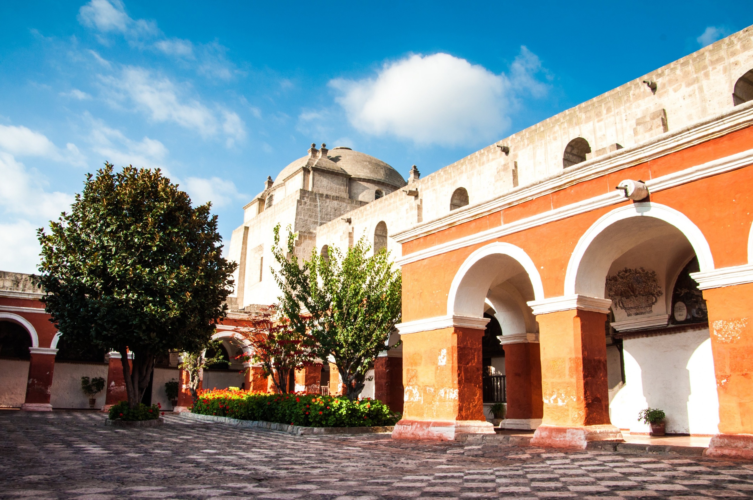
- Santa Catalina Monastery — a 16th-century religious enclave, one of Peru's best-preserved colonial monuments.
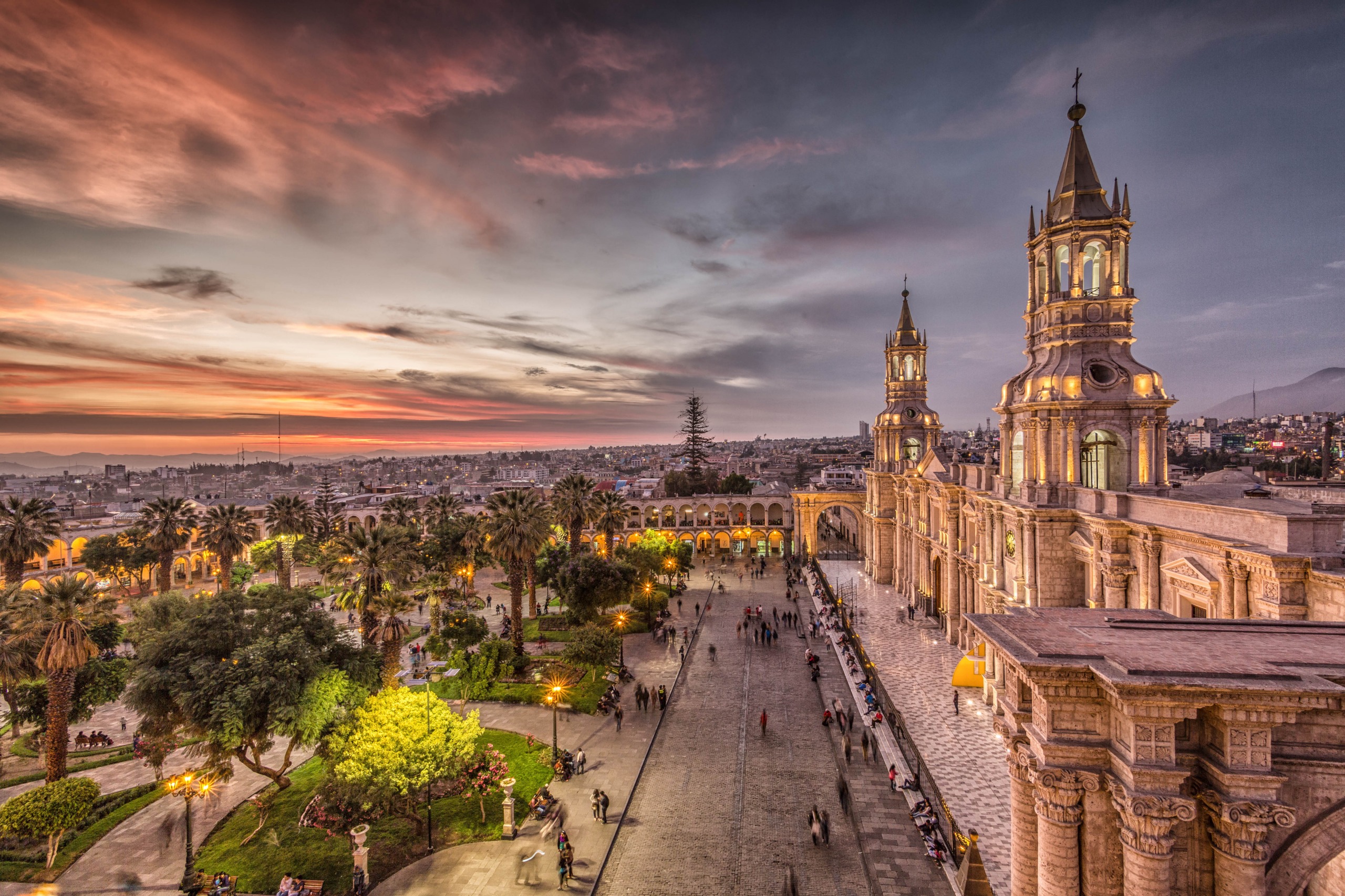
- Arequipa's Plaza de Armas — the historic heart of the city, surrounded by white sillar buildings.
- Yanahuara neighborhood — colonial streets and a viewpoint with views of Mount Misti and the Chili valley.
- Colca Canyon — one of the world's deepest canyons, a few hours' drive north of Arequipa.
Frequently asked questions
The dry season (May to November) offers the clearest skies and best views of the volcanoes. During the rainy season (December to April), the river's flow increases and some trails can be slippery.
Local operators offer rafting and kayaking on certain stretches of the river, especially upstream of the city. Check with Arequipa's tour agencies for difficulty levels and availability depending on the season.
Access to the banks and public trails is free. Selva Alegre park may charge a small entry fee; verify on site.
A half-day is enough for the banks and Yanahuara viewpoint. Combine with Santa Catalina Monastery and Plaza de Armas for a full day in the white city.
No photography restrictions on public riverbanks. Respect the privacy of residents in riverside neighborhoods and ask permission before photographing people.
Nearby
Interested in this visit?
We can include it in your personalised itinerary.