Lake Titicaca
At 3,812 meters between Pérou and Bolivia, a high plateau inhabited by the Uros, Quechuas and Aymaras, where you sleep with local families on reed islands or terraced communities.
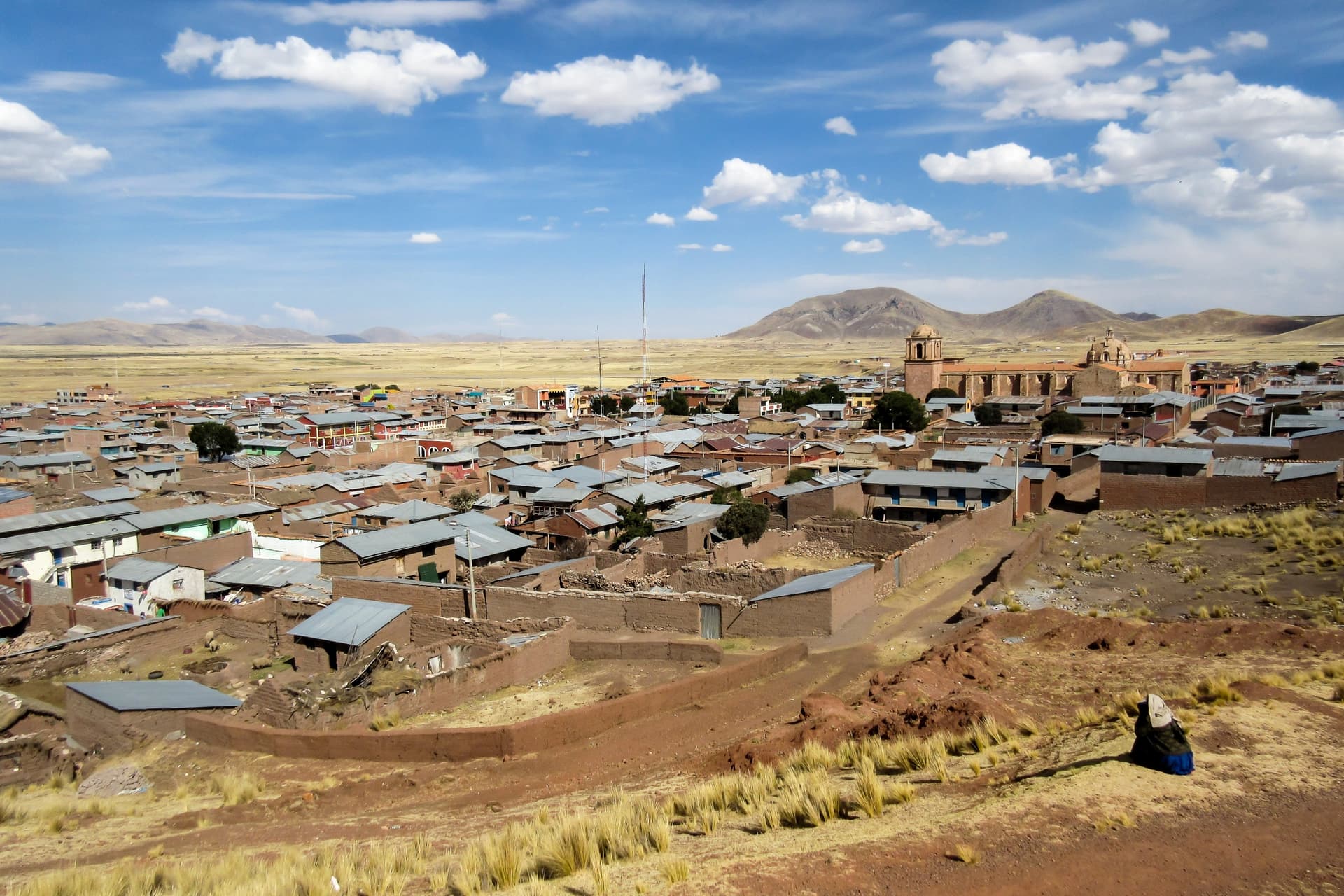
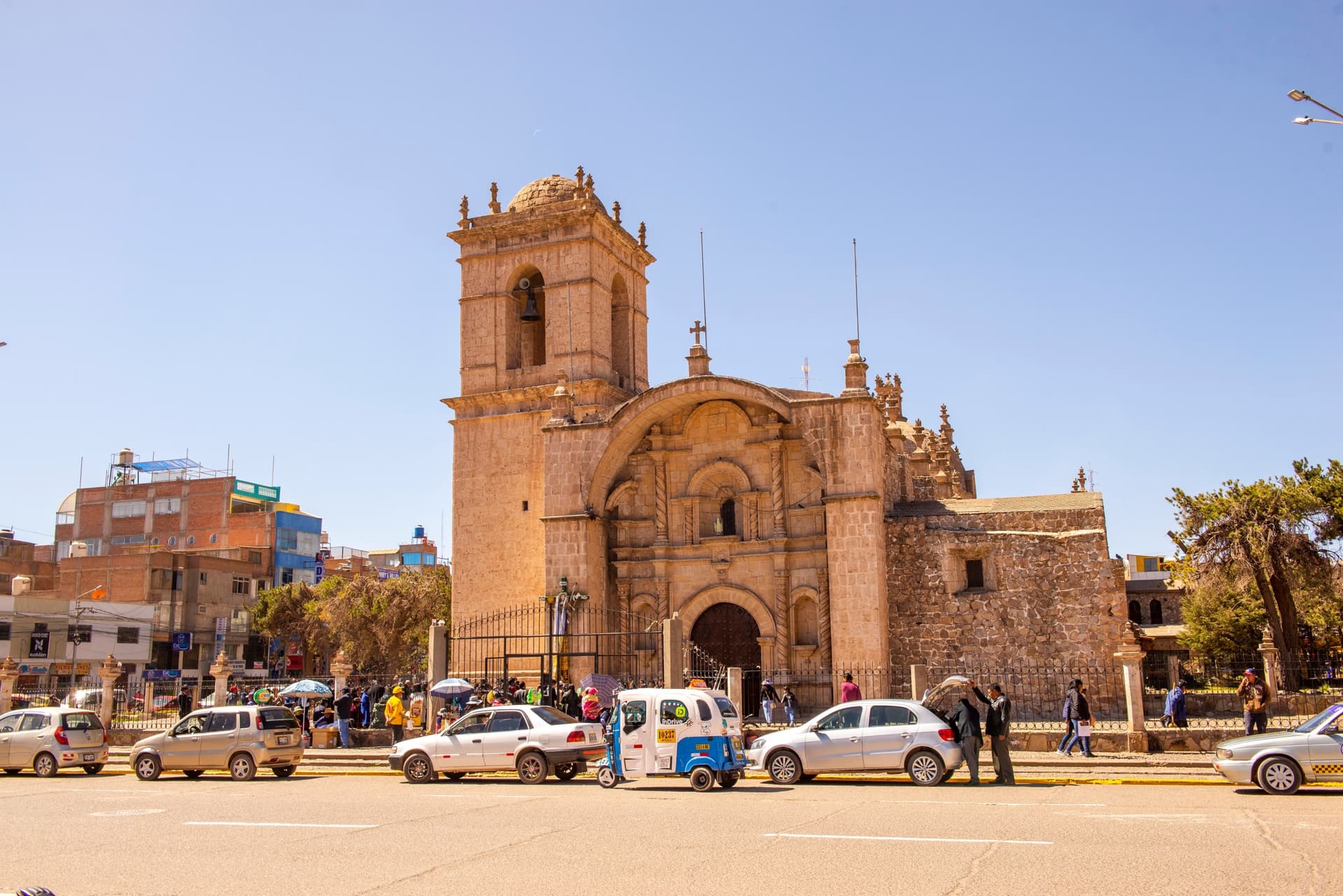
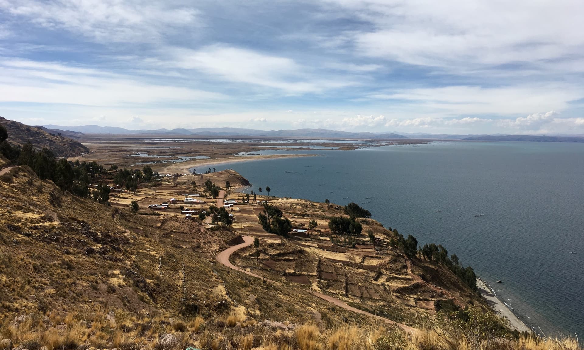
Lake Titicaca covers 8,372 km² between southern Pérou and western Bolivia, at 3,812 meters altitude. On the Peruvian side, the city of Puno serves as the gateway: 120,000 inhabitants, an active port on the bay, and a high plateau climate marked by intense sunshine during the day and dry cold at night. From the port, boats reach the main inhabited islands in two to four hours. Our team works with families settled on Amantani, Taquile and Llachon, on the Capachica peninsula, to arrange homestays that remain the true reason for a detour to this region.
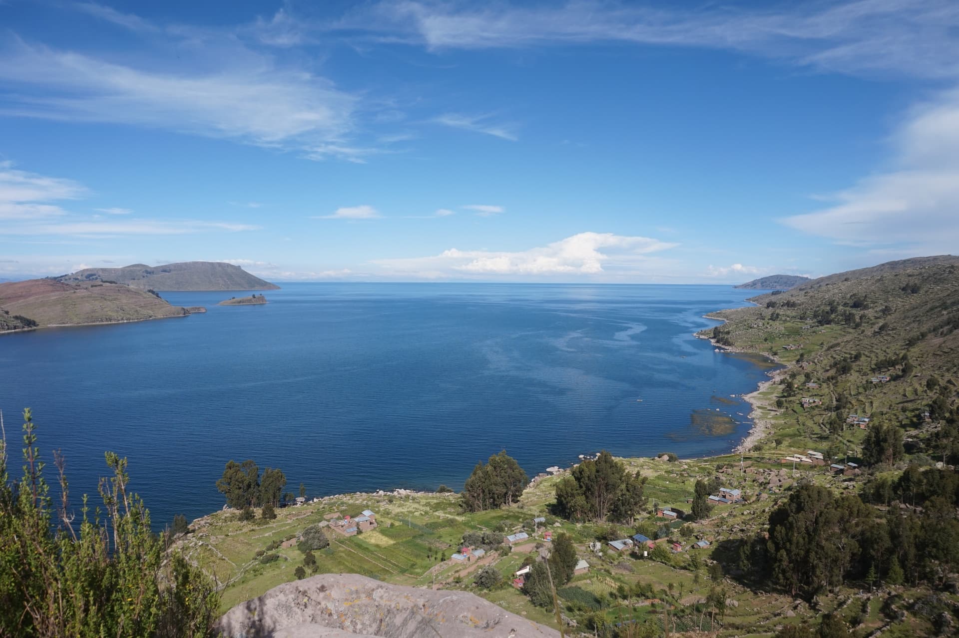
Three peoples coexist around the lake. The Uros have lived for generations on about fifty floating islands built from totora reeds, twenty minutes by boat from Puno. The Quechuas inhabit Taquile, a 6 km long island classified by UNESCO for its textile heritage: it is the men who knit, and each hat, belt or chullo indicates the marital status of its wearer. On Amantani, further north, an Aymara community farms potatoes, quinoa and beans on terraces, up to the peaks of Pachatata and Pachamama, at 4,150 meters.
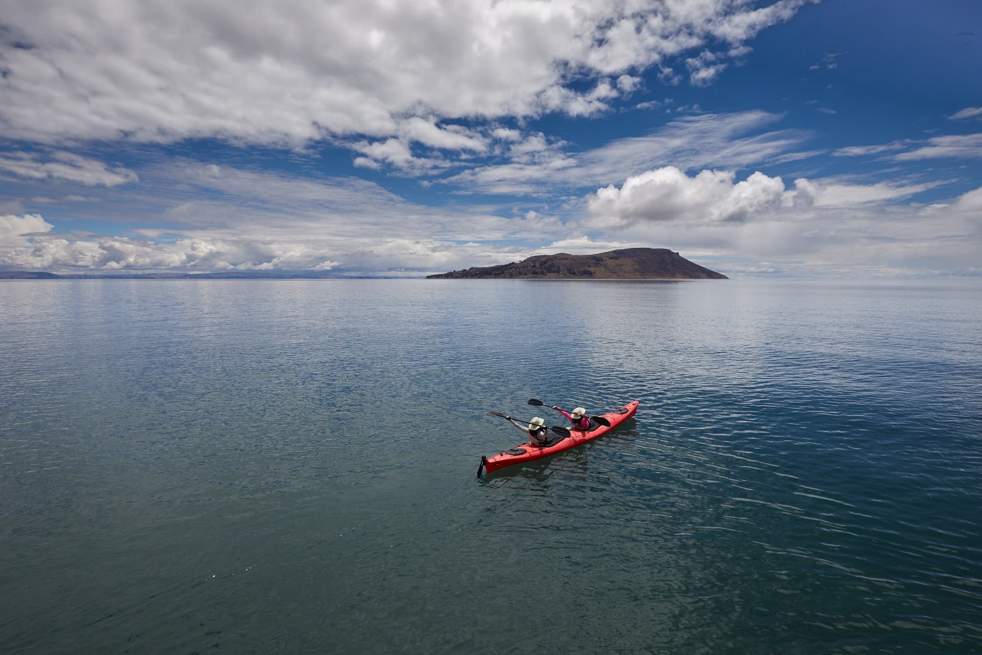
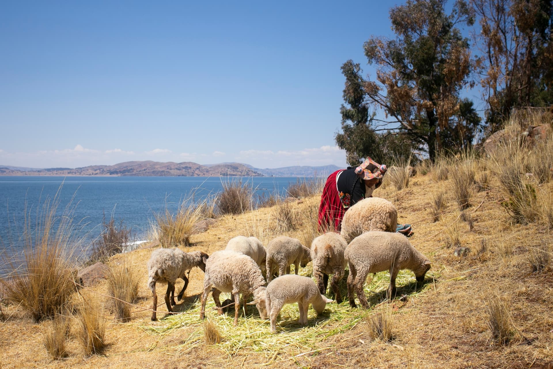
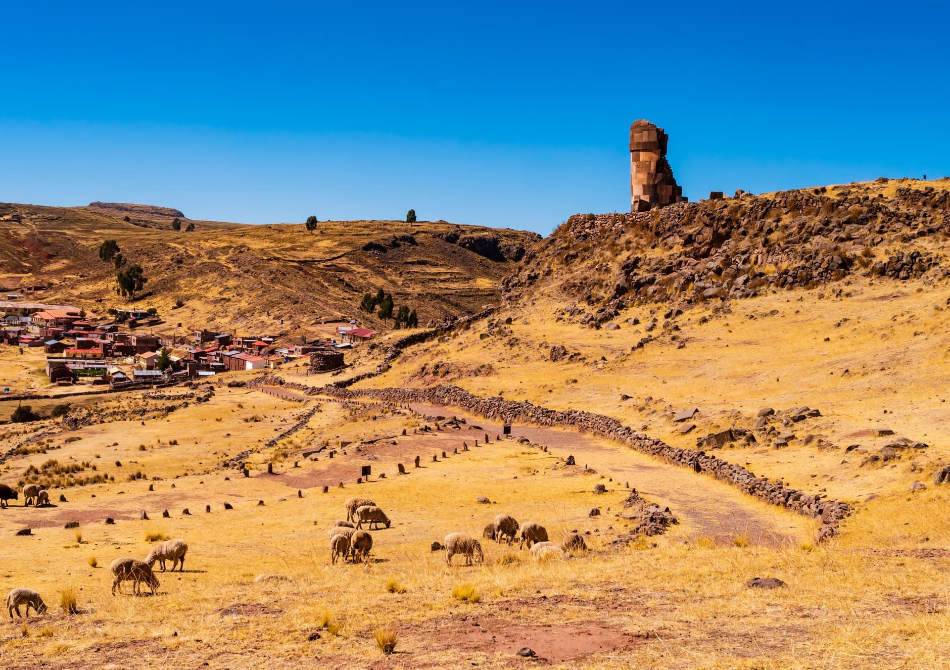
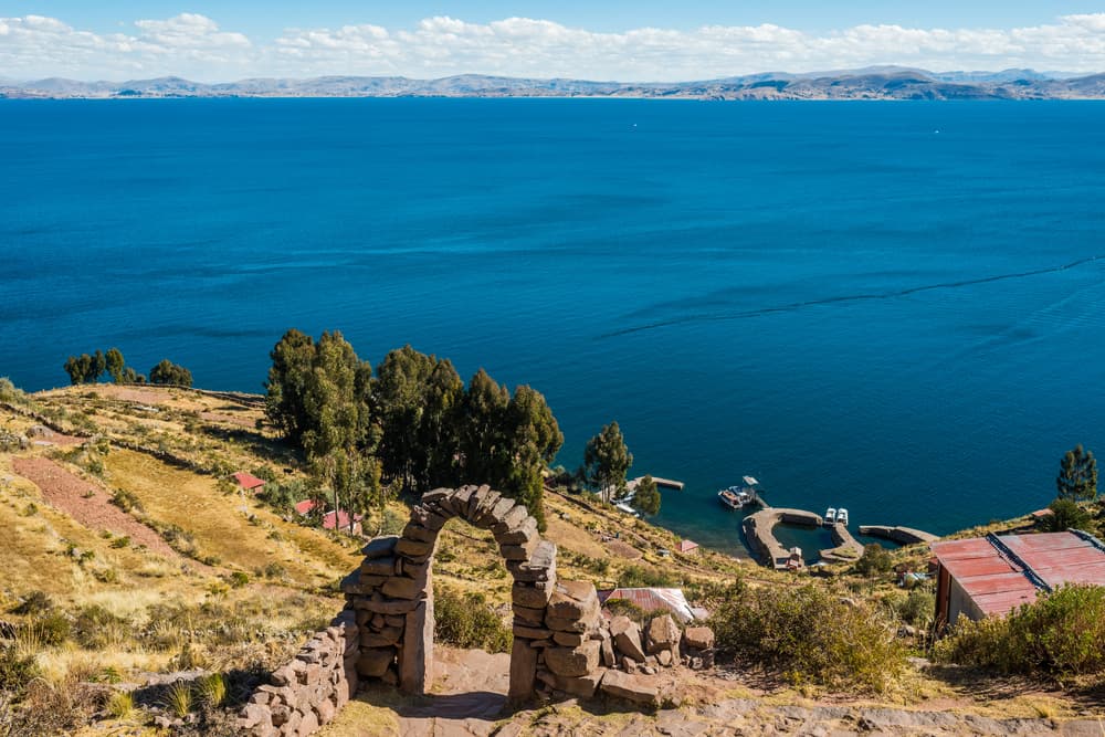
The landscape bears nothing of alpine lakes. The high plateau is bare, ochre, dotted with herds of alpacas and a few groves of eucalyptus. The water takes on an almost unreal dark blue hue under the midday sun, and silence carries far. On the heights of Sillustani, 34 km north of Puno, the chullpas, funeral towers of the Colla culture and later Inca, overlook Lake Umayo: a pre-Hispanic site we recommend as a half-day trip from Puno, often when arriving from Cuzco.
Local cuisine revolves around trout, introduced to the lake in the twentieth century and now farmed in floating ponds off Chucuito. It is served grilled with quinoa and Andean potatoes, of which more than 200 varieties are cultivated in the region. Coca tea, here, is not folklore: it genuinely helps you through the first hours at 3,800 meters. Patron saint festivals punctuate the year, the most important being the Virgen de la Candelaria, in early February, two weeks of dances and brass bands in Puno, inscribed in UNESCO's intangible cultural heritage.
Titicaca is worth the effort. Many travelers rush through it, making day trips to the Uros, and leave with the impression of a folklorized site. We prefer to build a two-night stay, including one with a family in Amantani or Llachon, with a return via the less frequented Capachica shoreline. It is there, sharing a bowl of sopa de quinua in a gas-lit kitchen, that the region reveals its true dimension: an inhabited high plateau, not a stage set.
Must-see
Homestay on Amantani. Accommodation in a Quechua family at 3,900 meters, shared dinner in the kitchen and sunset climb to Pachatata, a small pre-Hispanic sanctuary at the top of the island.
Floating islands of the Uros. Visit to two or three islands built from woven totora reeds, twenty minutes from Puno port. Demonstration of reed raft construction and navigation between the islets.
Textiles of Taquile. Island where men have been knitting since childhood. Central market and lunch overlooking the lake at 4,000 meters, after a one-hour walk from the southern landing.
Chullpas of Sillustani. Cylindrical funeral towers of the Colla culture, up to 12 meters high, standing on a peninsula of Lake Umayo. Site accessible as a half-day trip from Puno.
Capachica peninsula. On the north side of the lake, the village of Llachon offers a more discreet alternative to the classic islands, with homestays and direct lake access without a boat.
When to go
The dry season runs from April to October and remains the safest period to visit. Clear skies during the day, temperatures of 15 to 18°C, but cold nights: -3 to -7°C between June and August, sometimes down to -10°C on the islands. Guesthouses are not heated; bring fleece, a hat and an extra sleeping bag if you're sensitive to cold. From November to March, rains arrive, especially in January and February, with frequent afternoon showers and milder nights, around 3 to 5°C.
Two windows are worth the logistical effort: the Virgen de la Candelaria in Puno, from February 2 to 15, one of South America's largest religious festivals, and Inti Raymi on June 24, also celebrated on the lake's shores. In exchange, accommodations fill up quickly and prices climb. July and August concentrate most international visitors: we recommend May, September or early October to combine good weather with reasonable crowds.
Practical advice
Plan a minimum of two full days, ideally two nights, including one homestay on Amantani, Taquile or Llachon. A quick visit to the Uros in one morning leaves an incomplete impression. Puno is reached by air via Juliaca airport, 45 km away, from Lima, Cuzco or Arequipa, or by road from Cuzco in 6 to 7 hours. The PeruRail Andean Explorer train connects Cuzco to Puno in one day, a panoramic crossing of the high plateau at over 4,300 meters at the La Raya pass.
The region logically combines with Cuzco and the Sacred Valley, and further south with Arequipa and Colca Canyon, accessible in 5 to 6 hours by road from Puno. Titicaca suits contemplative travelers, those sensitive to human connection and ready to accept simple comfort in a homestay: no guaranteed hot water, often outdoor facilities, frugal but home-cooked meals. Altitude requires arriving acclimatized, from Cuzco (3,400 m) rather than directly from Lima.