Pampa Cañahuas National Reserve
Pampa Cañahuas National Reserve
At the gates of Arequipa, Pampa Cañahuas Reserve protects 314,447 hectares of Andean pampas at 4,000 m, a sanctuary for vicuñas and endemic cacti.
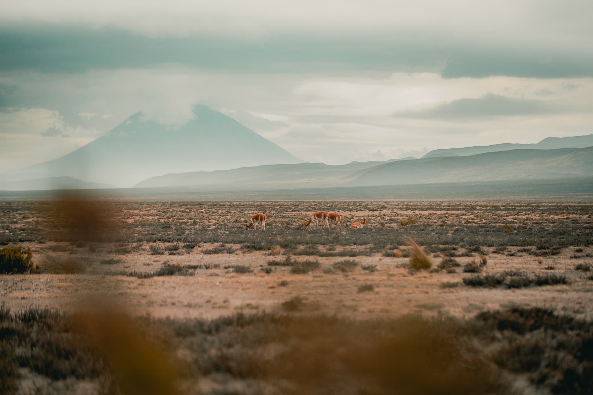
Pampa Cañahuas National Reserve stretches across the high Andean plateaus of the Arequipa region in southern Pérou. Integrated into the national reserve Salinas and Aguada Blanca, it protects 314,447 hectares of pampas at the foot of the Chachani and Misti volcanoes. At an average altitude of 4,000 meters, its expanses of ichu grass shelter herds of wild vicuñas and form a natural waypoint on the route between Arequipa and Colca.
Why visit Pampa Cañahuas
The reserve protects one of the last great habitats of the vicuña in Pérou. This wild camelid, a national emblem, lives here in herds easily observed from the road. Beyond the wildlife, the site offers a tangible understanding of the puna ecosystem: high-altitude steppe, endemic cacti, cushion plants and Polylepis trees adapted to extreme conditions. The pampa extends to the districts of Yanahuara, Cayma, Chihuata and Tarucani, forming a vast corridor between the volcanoes and the altiplano.
The site's appeal also lies in its accessibility: about 25 kilometers from central Arequipa, it is one of the rare high-altitude reserves that can be visited in a half-day or en route to Colca Canyon.
What to see and do
High-altitude fauna
- Vicuñas: flagship species, observable in herds along trails and near water sources.
- Guanacos and pumas: present but elusive, rarely seen without an experienced guide.
- Llamas and alpacas: raised by local communities, they coexist with wild fauna.
- Chinchillas: fragile population and difficult to spot, mainly in rocky areas.
- High-altitude birdlife: Andean flamingos on seasonal lakes, condors at reserve boundaries.
High-altitude flora
- Ichu (Stipa sp.): dominant grass of the pampas, food base for camelids.
- Tola (Lepidophyllum sp.) and yareta (Azorella yareta): cushion plants characteristic of the puna.
- Polylepis: Andean trees, the last representatives of high-altitude forests.
- Endemic cacti: Neoraimondia arequipensis, Lobivia mistiensis, Loxanthocereus riomajensis.
Human and cultural heritage
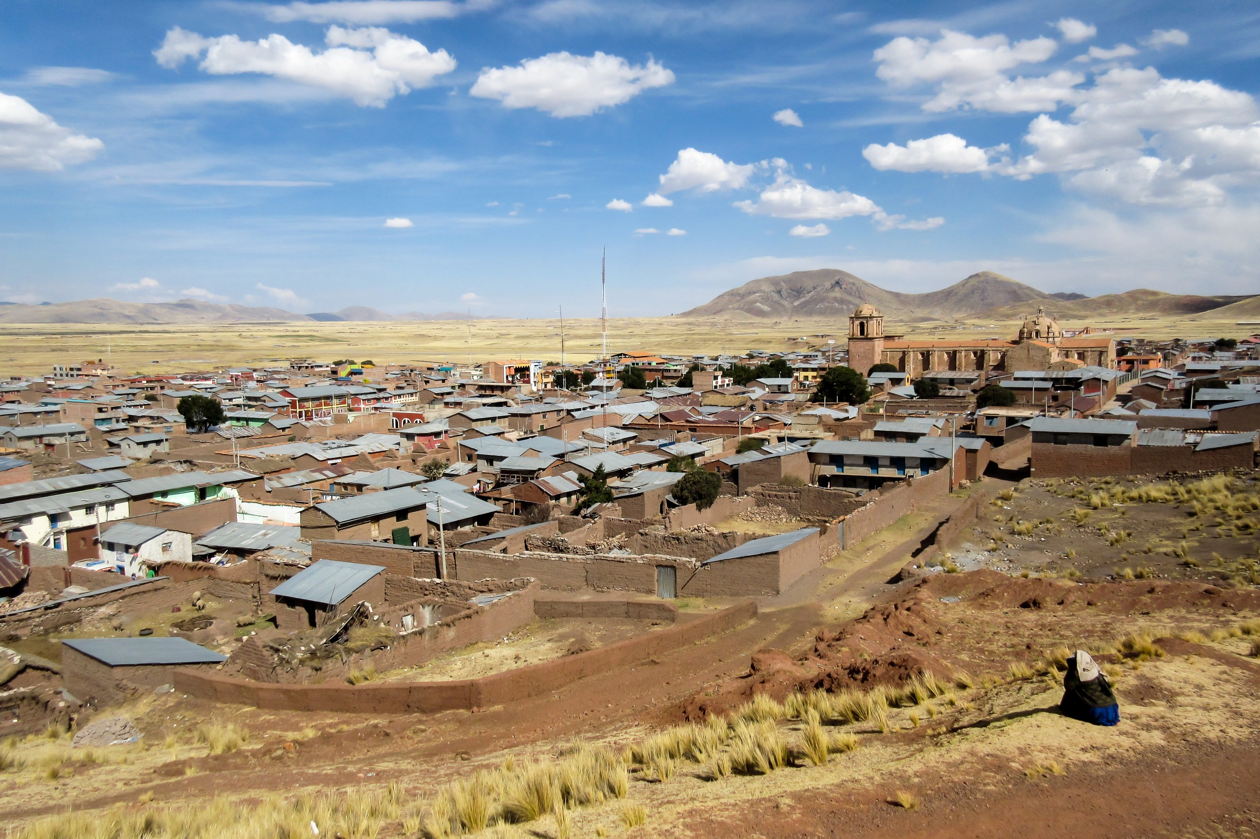
The Andean village of Patawasi lives from alpaca and llama herding. Families here perpetuate traditional techniques of spinning, weaving and vegetable-dyed wool. A visit allows you to understand the link between Andean herding and local economy.
At the reserve's edge, the Sumbay caves, along the river of the same name, preserve rock paintings dating back millennia. They depict hunting scenes, vicuñas and pumas, testimony to the first populations that roamed these plateaus.
Hiking to Salinas Lagoon
A trail leads from the Chiguata sector to Salinas Lagoon, a salt lake where flamingos and water birds gather. Allow between 1.5 to 2.5 hours of walking depending on your pace and altitude acclimatization.
When to go
The climate is cold and dry, with an average annual temperature not exceeding 4°C and approximately 400 mm of rainfall per year. Two seasons shape the year:
- Dry season, April to October: most favorable period. Clear skies, passable trails, optimal wildlife observation. Nights are freezing; pack multiple layers.
- Wet season, January to March: rain and snow possible at altitude, some trails become difficult.
How to get there
Arequipa is the logical starting point. From Lima, the overnight bus remains the most popular option: count approximately 16 hours of travel, with several service categories depending on comfort. Flying is faster but significantly more expensive.
From Arequipa, two main access points:
- Via Chiguata: about 25 km from the center, accessible by taxi or colectivo. The road is paved to the village, then becomes a track as you climb toward the pampa.
- Organized excursion: most Arequipa-Colca circuits traverse the reserve with a photo stop at the vicuña pampas. This is the simplest option for a first visit.
Practical information
- Altitude: 4,000 m on average. Prior acclimatization in Arequipa (2,335 m) is recommended to avoid acute mountain sickness.
- Equipment: warm clothing, windbreaker, sun protection, water, snacks. The sun is intense despite the cold.
- Visit duration: from 2 hours for a transit stop to a full day with hiking.
- Guide: useful for spotting elusive wildlife and accessing Sumbay caves.
- Site respect: do not approach vicuñas, leave nothing behind, stay on marked trails.
See nearby
- Salinas and Aguada Blanca Reserve: larger ensemble that encompasses Pampa Cañahuas, with salt lakes and similar fauna.
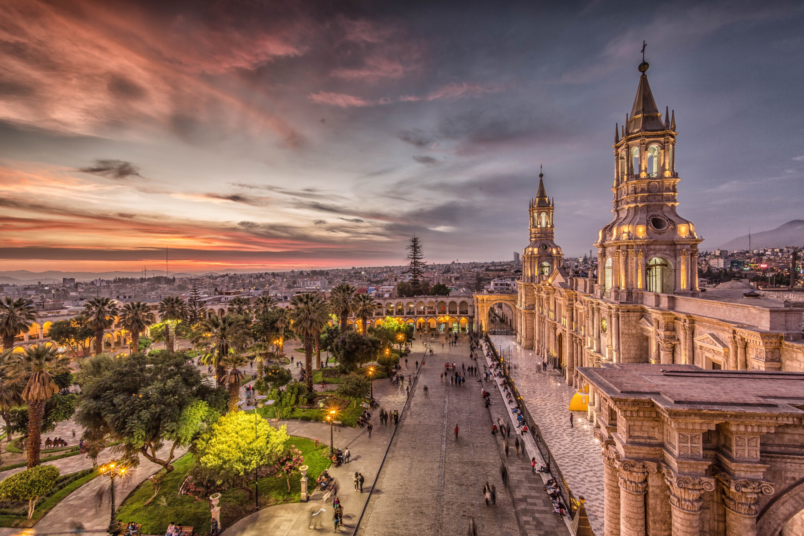
- Arequipa: the white city, ideal base for exploring the reserve and Colca Canyon.
- Vinicunca: the mountain of seven colors, another emblematic site of the Peruvian Andes.
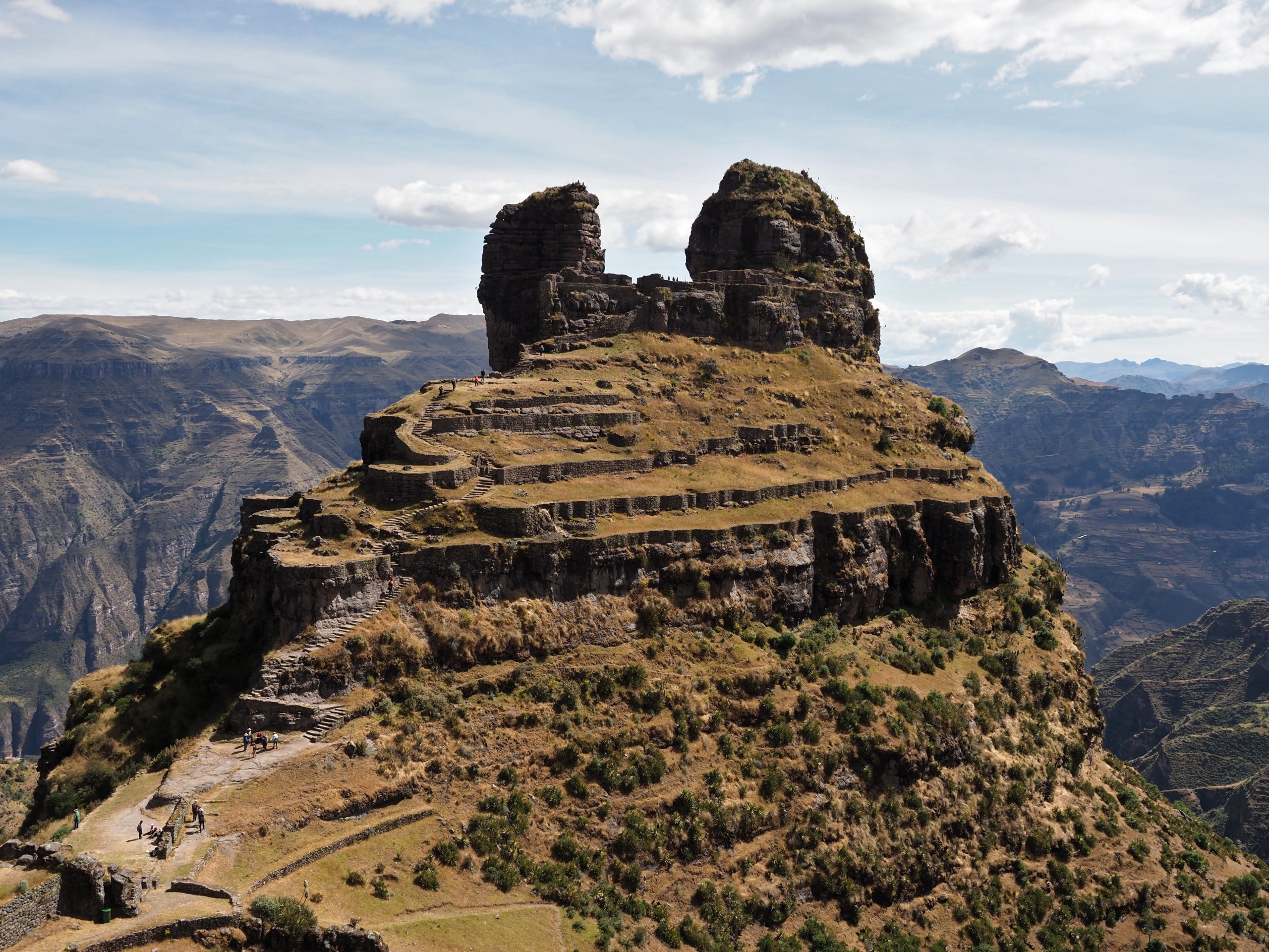
- Tambomachay: Inca site linked to water, near Cusco.
Frequently asked questions
Frequently asked questions
Yes. Located about 25 km from the center via Chiguata, it lends itself to a day trip, often combined with a journey to Colca Canyon.
Yes, the vicuña is the most visible animal in the reserve. Herds graze near main trails, especially in early morning and late afternoon.
Access to the pampas is free from the road. A local guide becomes useful for more remote areas, Sumbay caves or hiking to Salinas Lagoon.
The dry season, April to October, offers the most stable conditions: clear skies, passable trails and good visibility of the volcanoes.
Yes, the reserve peaks around 4,000 m. It is better to spend at least two nights in Arequipa before your visit and drink plenty of water.
Extend the experience
Pampa Cañahuas fits naturally into an itinerary between Arequipa, Colca Canyon and the altiplano of Lake Titicaca. To plan a tailor-made journey blending volcanoes, Andean wildlife and Inca heritage, explore our Pérou journeys.
Interested in this visit?
We can include it in your personalised itinerary.