Cusco and Sacred Valley
Inca capital at 3,400 m and Quechua valley of the Urubamba river, gateway to Machu Picchu: one week to grasp the historical and agricultural density of the region.
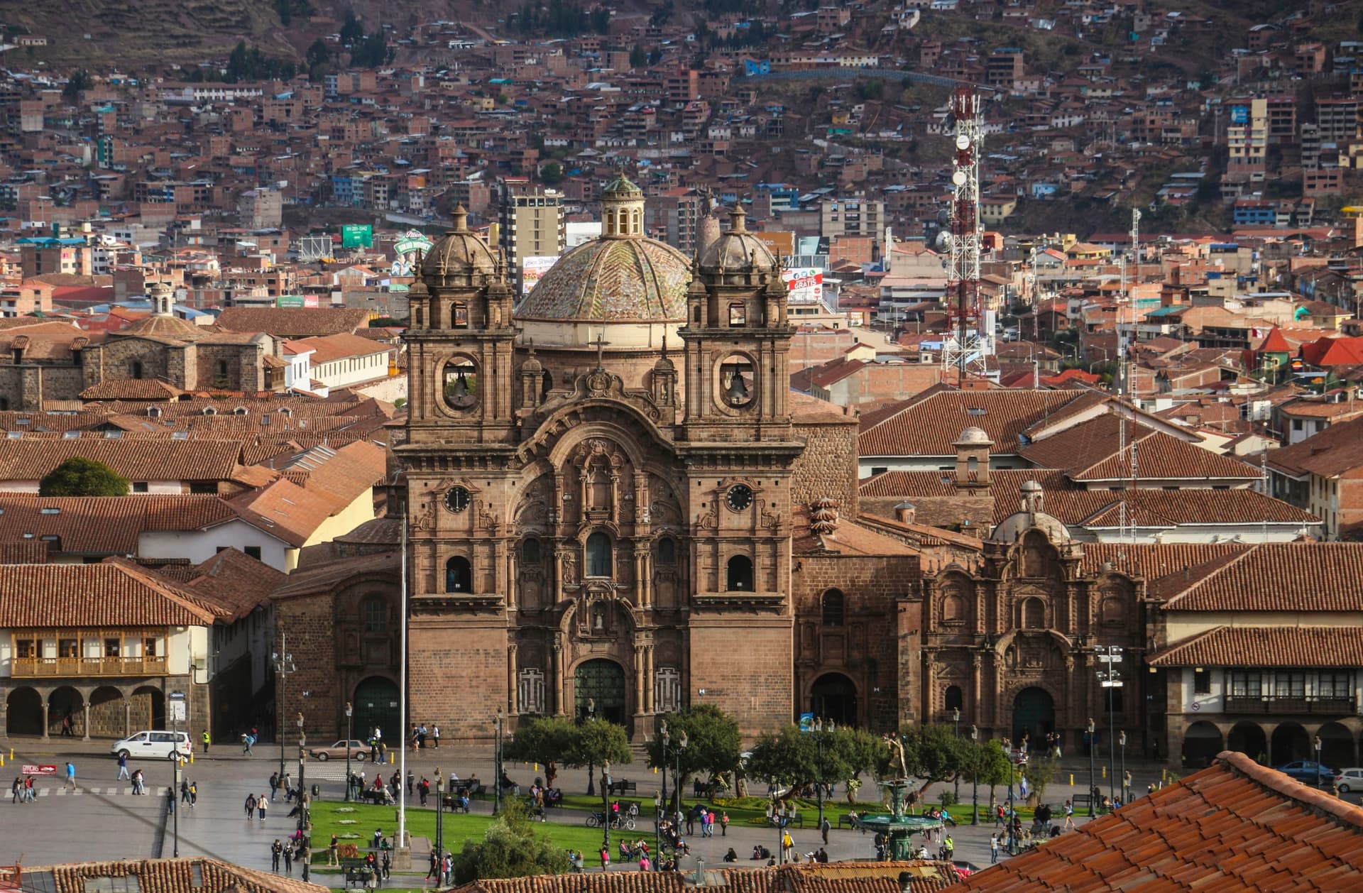
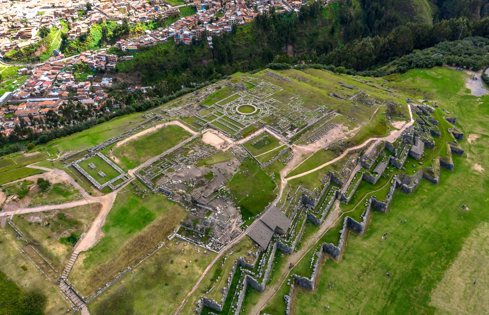
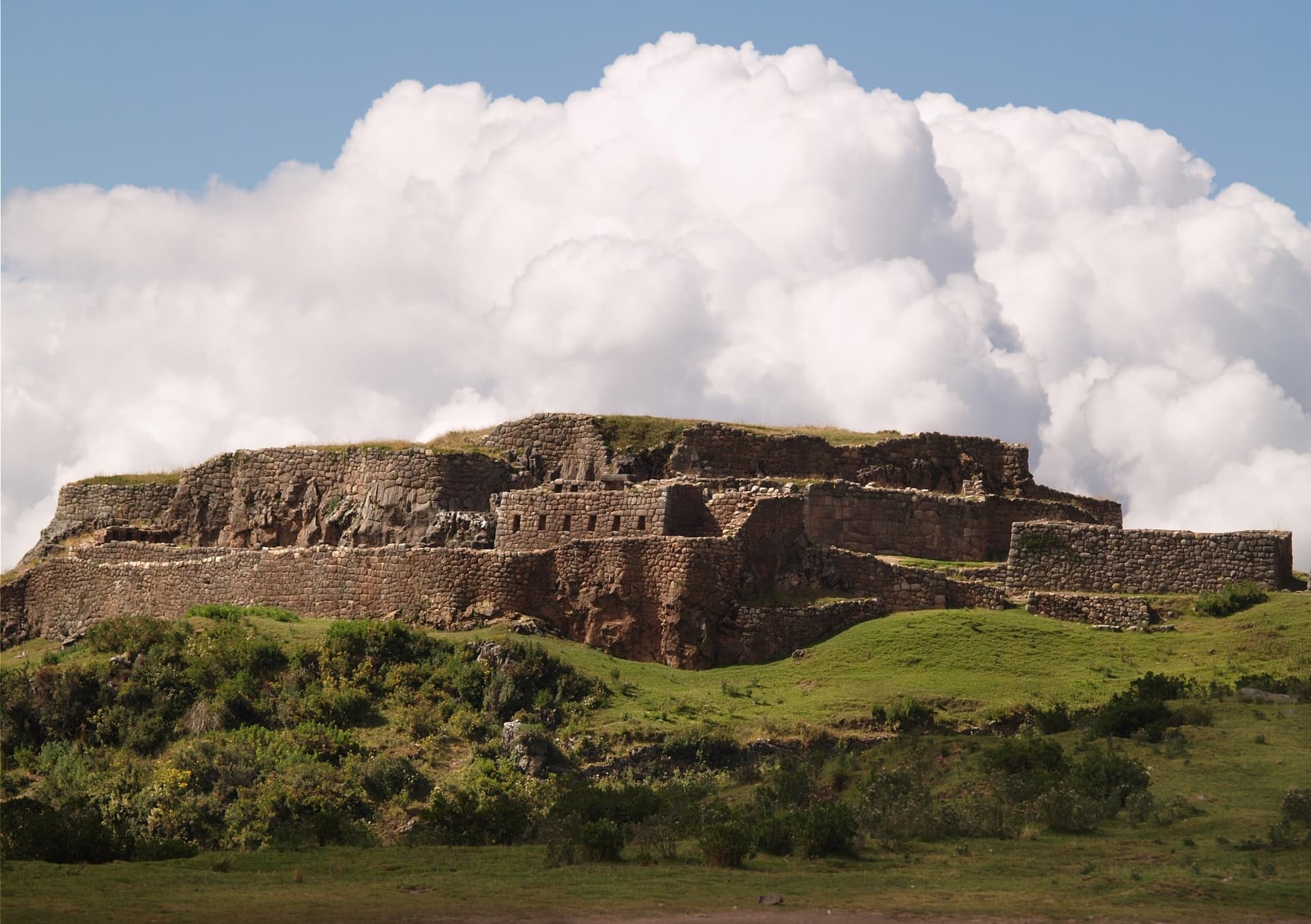
Cusco occupies a basin at 3,400 meters altitude, surrounded by Andean foothills where herds of sheep and llamas still graze. The city was the capital of the Inca empire, the Tawantinsuyu, until the arrival of the Spanish in 1533. This layering is visible in every street of the center: the polygonal stone walls cut in the 15th century, like those of Calle Hatun Rumiyoc and its famous twelve-angle stone, still serve as foundations for colonial palaces and churches. The cathedral and convent of Santo Domingo, built directly over the Qorikancha (the former Temple of the Sun), illustrate this architectural palimpsest better than any museum.
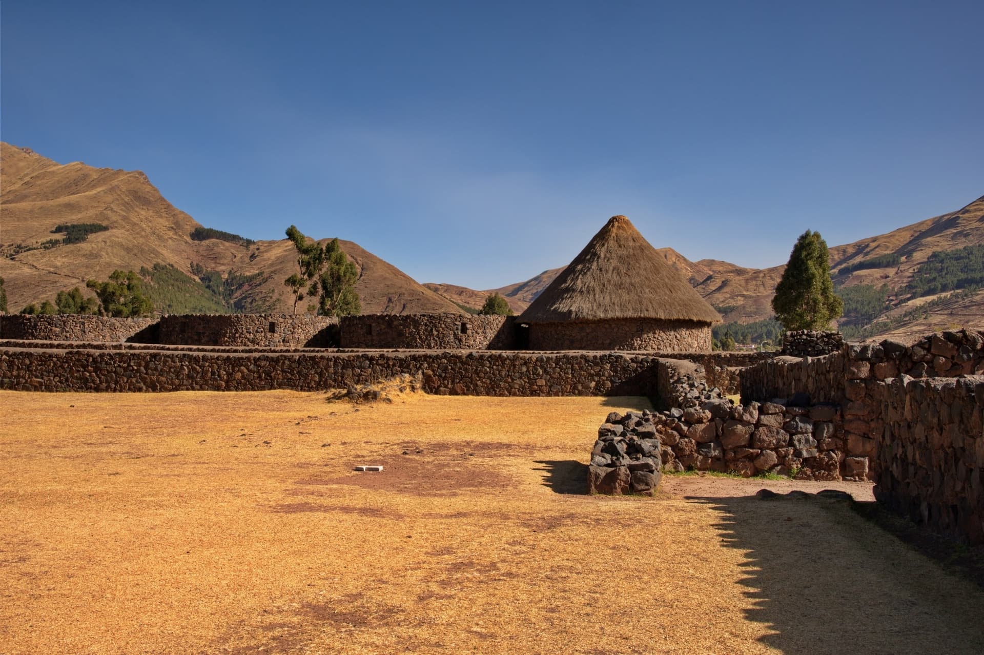
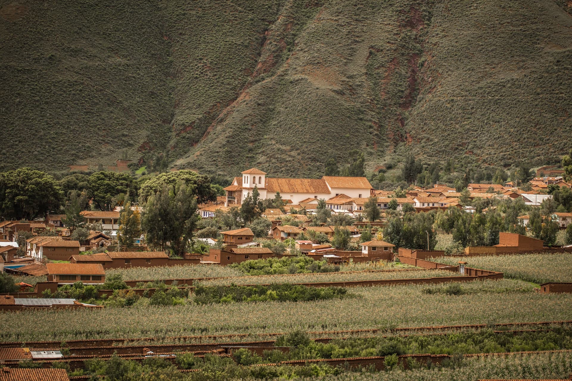
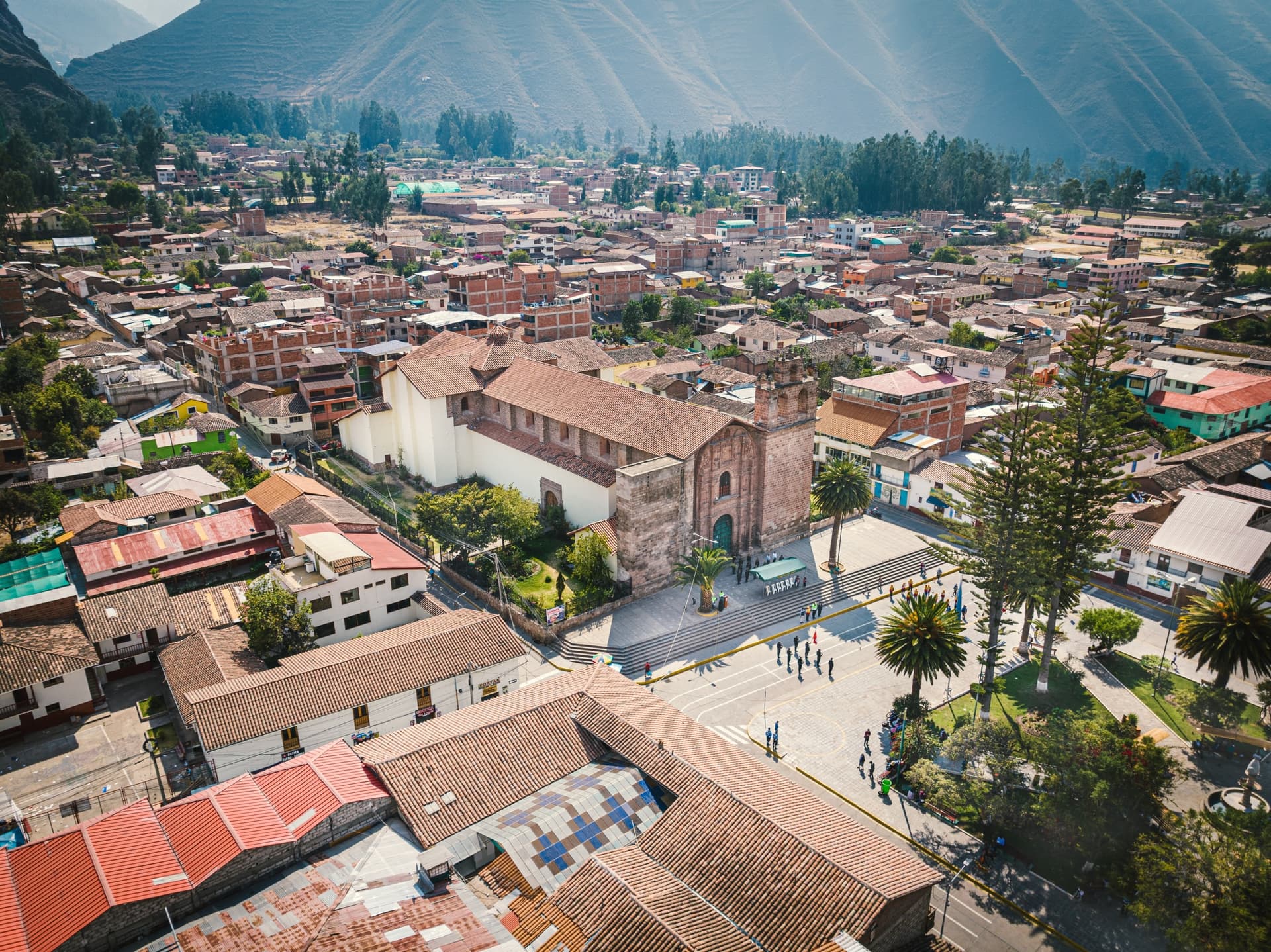
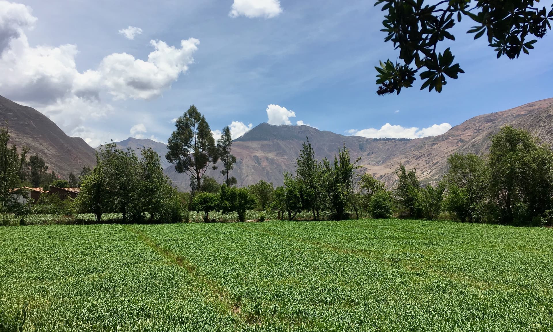
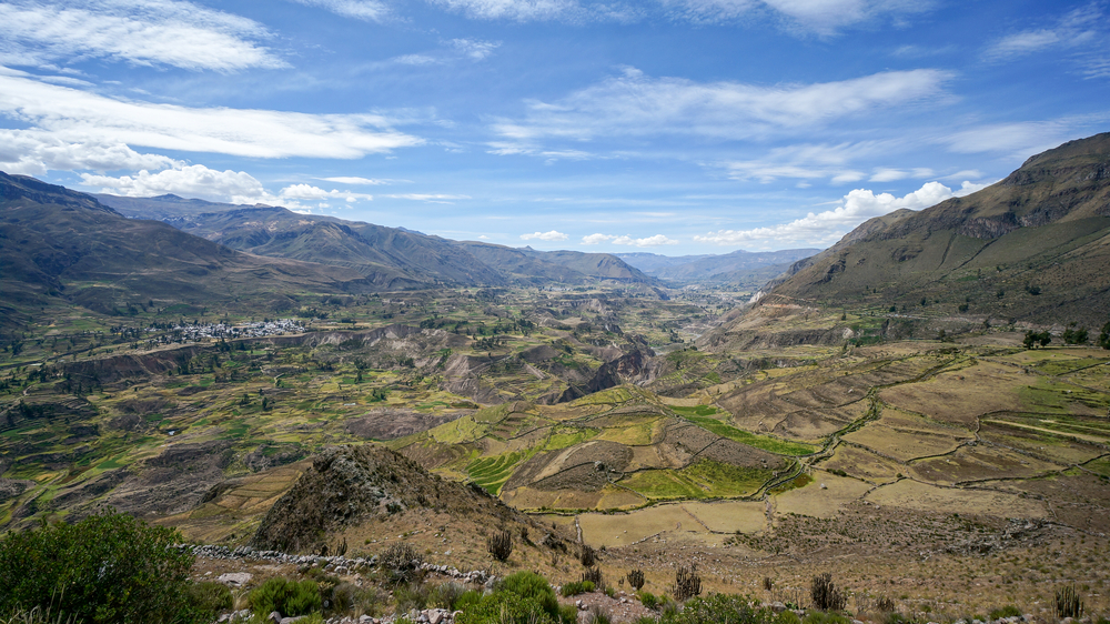
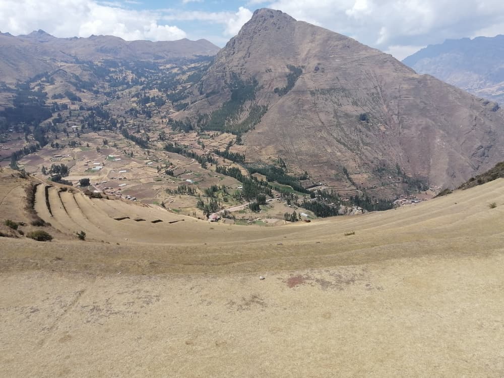
The Sacred Valley stretches for about thirty kilometers to the north, along the Urubamba river, between 2,800 and 3,000 meters. The climate is milder than in Cusco, the air less thin, making it our first recommendation for travelers arriving from Lima or directly from Europe: staying in Urubamba or Yucay for two nights before heading to Cusco genuinely helps the body adapt. The valley is not a fixed backdrop. Pisac, Calca, Urubamba, Ollantaytambo and Chinchero are living Quechua villages, with their weekly markets (Sunday in Chinchero, Tuesday, Thursday and Sunday in Pisac) where Andean potatoes, giant white corn from Cusco, quinoa and medicinal herbs are still bartered. Agricultural terracing, inherited from the Incas but possibly older, remains the backbone of the landscape. The andenes of Moray, a series of concentric basins carved across multiple levels, create microclimates with temperature differences of up to 15°C between top and bottom: agronomists see it as a pre-Columbian botanical acclimatization laboratory. A few kilometers away, the Maras salt ponds line nearly 4,000 white basins on the side of a mountain, worked by village families since Inca times according to a system of salt water channels still in use today.
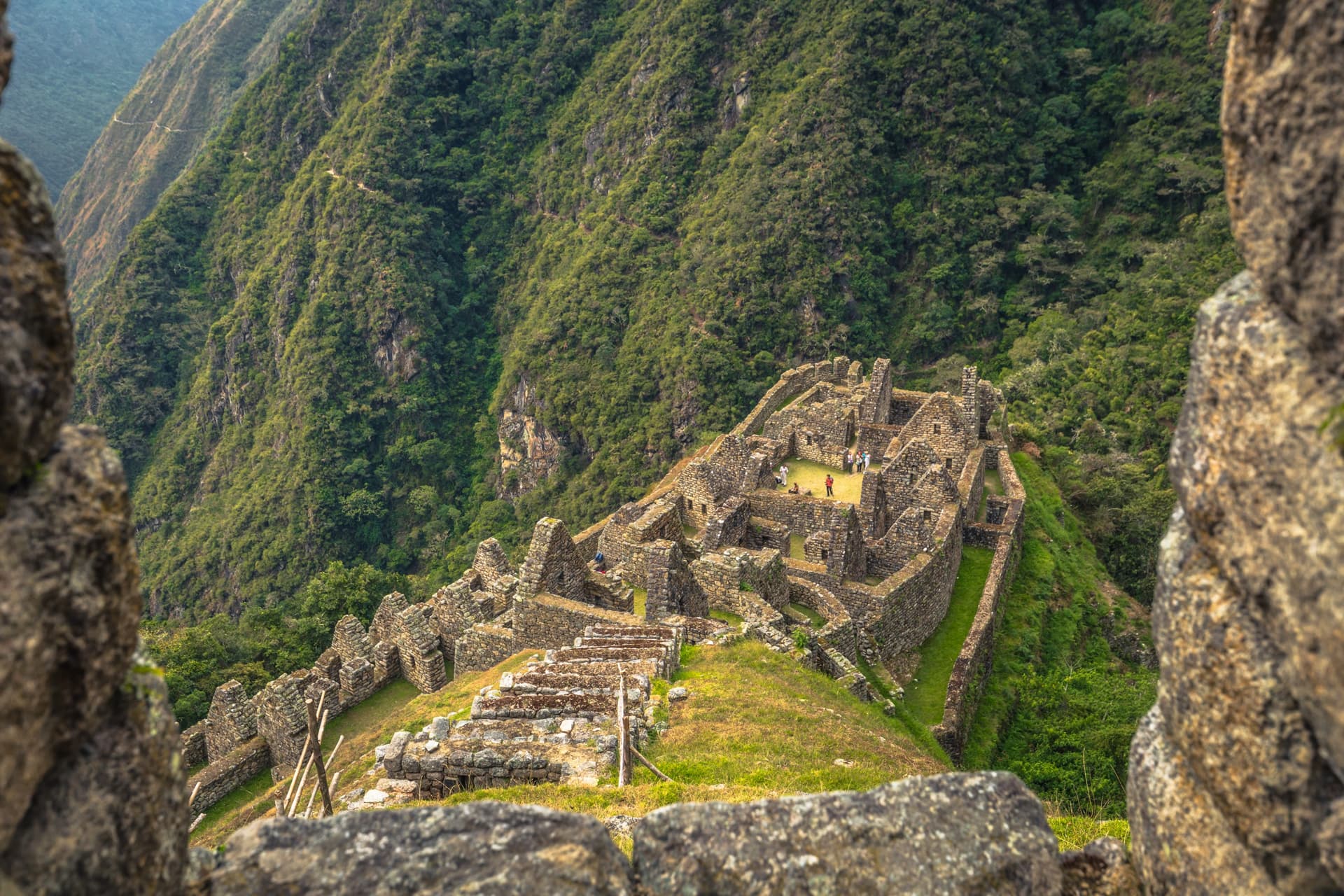
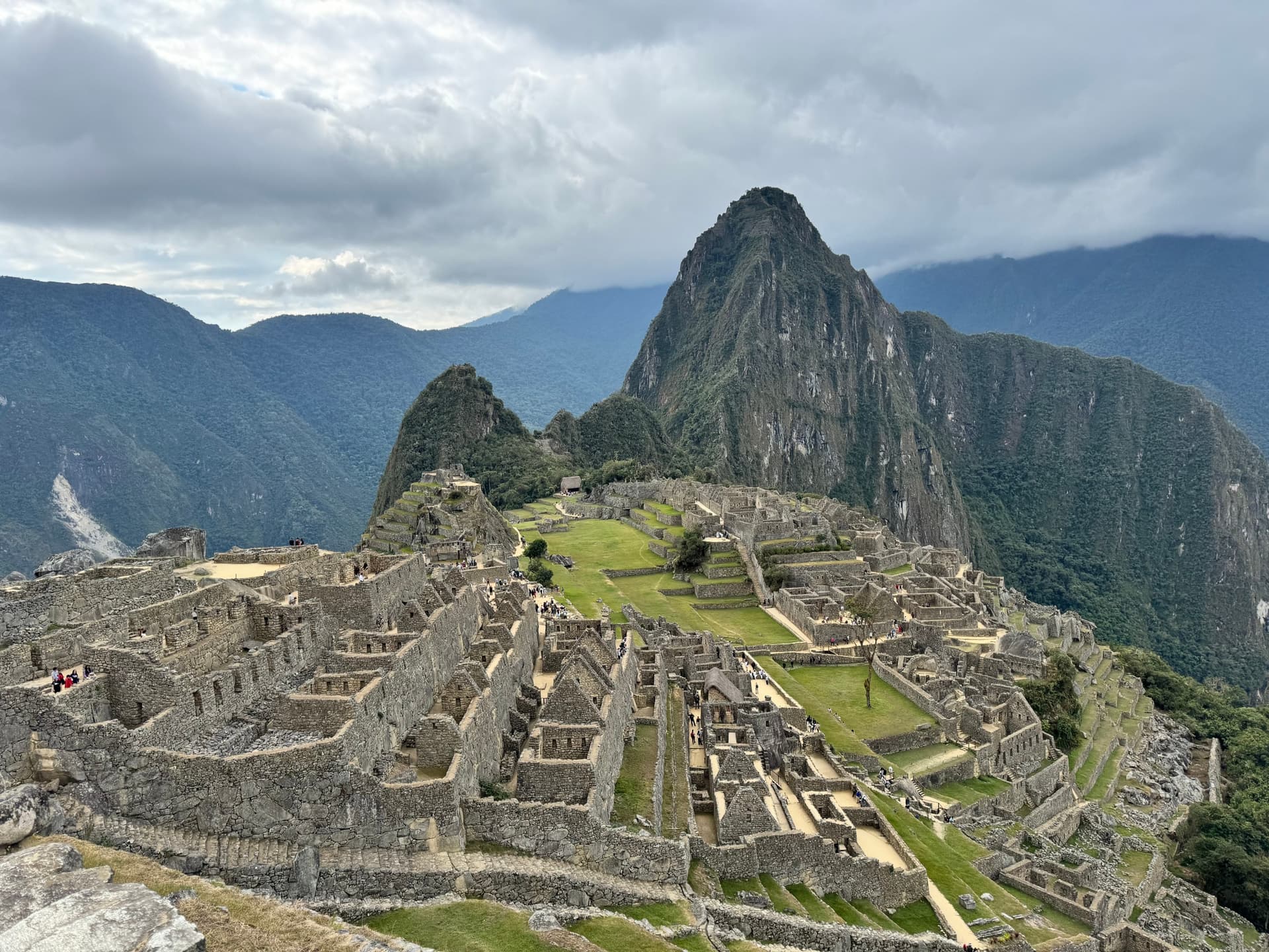
Ollantaytambo, at the western end of the valley, preserves the original Inca urban layout, with its canchas (residential blocks) and irrigation canals still functional. It is also the departure point for the train to Machu Picchu: 1 hour 30 minutes of rail follows the Urubamba river as it descends into the ceja de selva, the fringe of Amazonian forest, to Aguas Calientes. The site itself, rediscovered by Hiram Bingham in 1911, is best visited early in the morning to avoid the crowds of the midday groups. New tickets now impose time slots and circuits, which our team manages during booking, several weeks in advance during high season.
Regional cuisine deserves attention beyond ceviche, which belongs more to the coast. In Cusco, you taste cuy (roasted guinea pig) during celebrations, chiri uchu during Corpus Christi in June, and daily quinoa soup, stuffed rocoto peppers or chicharrones from Saylla, a village south of the city specialized in pork. The chicherías of San Sebastián still serve chicha de jora, fermented corn beer, indicated by a red plastic bag hanging above the door.
Culturally, June concentrates the major celebrations: Corpus Christi in Cusco, then Inti Raymi on June 24th on the esplanade of Sacsayhuamán, a recreation of Inca sun worship created in 1944 but now an important gathering for Andean communities. Apart from these dates, the region offers a wealth of heritage that alone justifies a week, not counting hikes to the weaver communities of Chinchero, Patabamba or the Vilcanota mountain range further south.
Must-see attractions
Machu Picchu from Ollantaytambo. Train following the Urubamba river to Aguas Calientes, then switchback bus to the site. We recommend entry at 6am to watch the mist rise over Huayna Picchu before the tour groups arrive.
Maras salt ponds and Moray terraces. 4,000 salt basins worked by families since Inca times, then the concentric agricultural basins of Moray where the temperature difference reaches 15°C between levels. A half-day loop from Urubamba.
Chinchero market on Sunday. Barter market where highland communities come down to exchange potatoes, beans and plant-dyed fabrics. The colonial church is built over the walls of Inca Túpac Yupanqui's palace.
San Blas neighborhood in Cusco. Steep paved streets above the Plaza de Armas, workshops of religious artists and wood sculptors, viewpoints over red-tiled roofs in late afternoon when light rakes across the Andes.
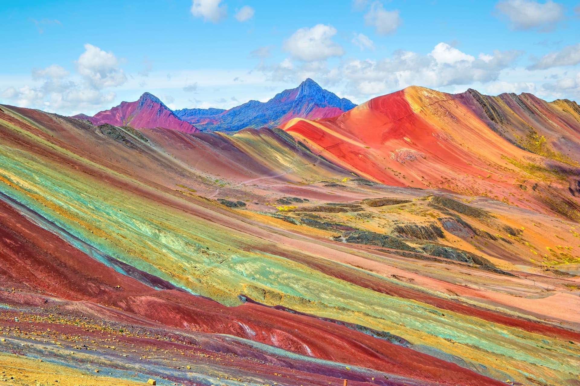
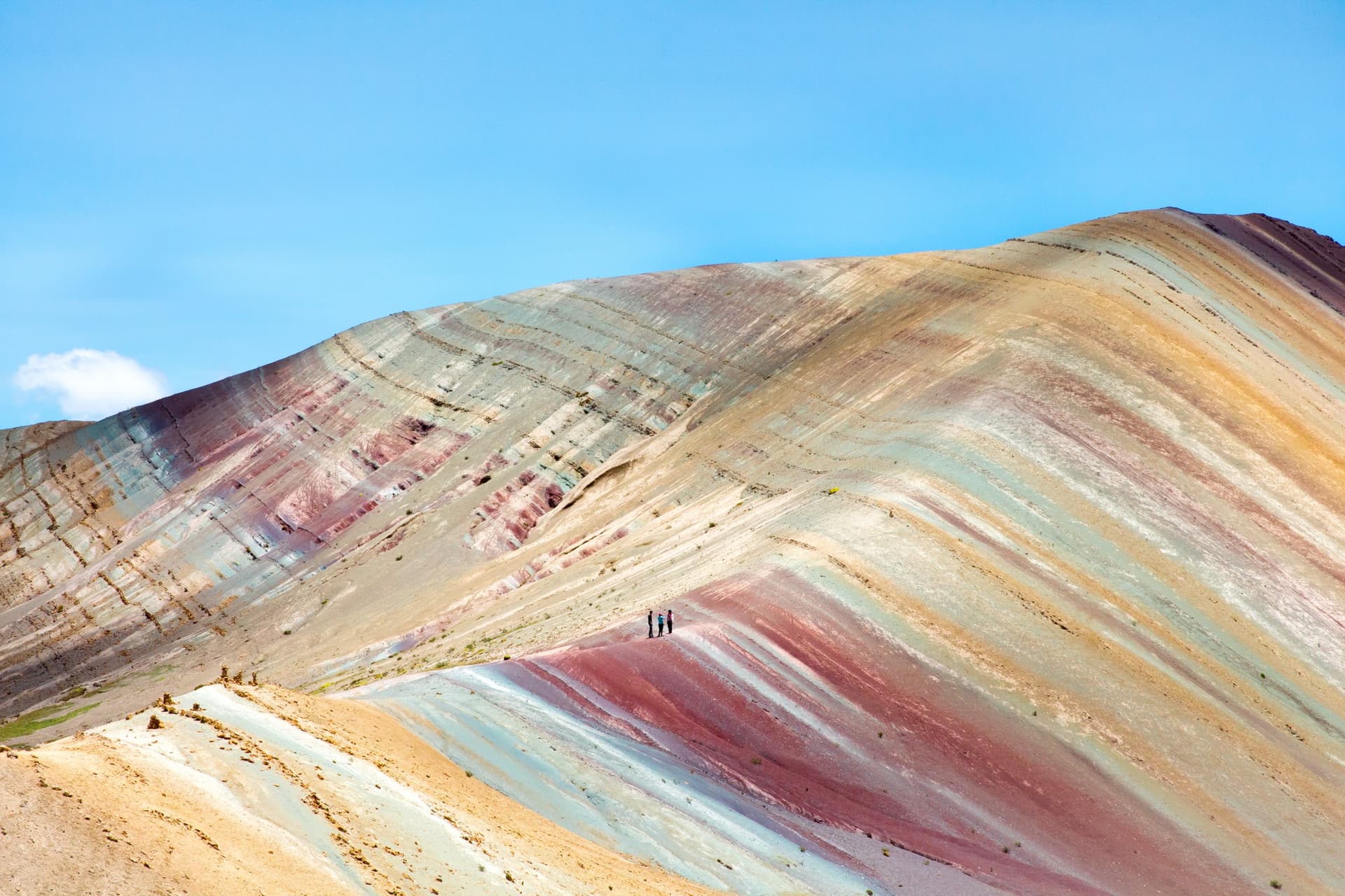
Hike to Vinicunca Rainbow Mountain. A 3-hour round-trip walk at over 5,000 meters, in the Vilcanota mountain range 3 hours' drive from Cusco. To be attempted only after 4 or 5 days of acclimatization, and preferably in April-May when snow has melted but crowds remain manageable.
When to go
The dry season runs from April to October. Days are sunny, temperatures range between 18 and 20°C in Cusco and slightly higher in the Sacred Valley, but nights drop near 0°C in June and July, sometimes below on higher elevations. This is the best period for the Inca Trail and high-altitude hikes, but also the most crowded: June-July-August require booking trek permits and accommodation in Machu Picchu Pueblo three to six months in advance.
From December to March is the rainy season. Rain falls mostly in late afternoon, mornings often remain passable, but trails become muddy and the Inca Trail closes entirely in February for maintenance. April, May, September and October are our preferred months: skies remain stable, landscapes greener after rains, fewer crowds. At Aguas Calientes, situated at 2,040 meters in humid forest, the atmosphere is more tropical and rainfall more generous than in Cusco, to be expected even during the dry season.
Practical advice
We recommend a minimum of 5 full days in the region to explore it without rushing: 2 nights in the Sacred Valley for acclimatization and discovery of Pisac, Moray, Maras and Ollantaytambo, 1 night in Aguas Calientes or return the same evening, then 2 nights in Cusco for the city and nearby surroundings (Sacsayhuamán, Tambomachay, San Blas). With 7 days, add Chinchero, a day with a weaver community or Rainbow Mountain. Cusco airport (Velasco Astete) receives domestic flights from Lima, Arequipa and Puerto Maldonado, approximately 1 hour 15 minutes flight from Lima.
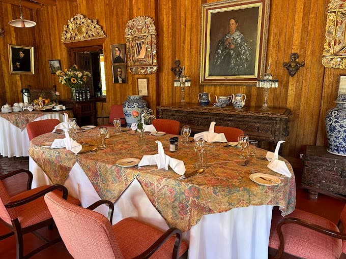
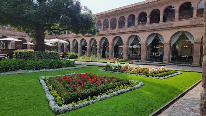
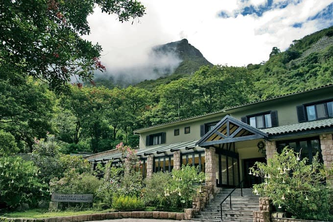
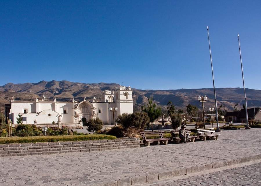
The region combines naturally with Lake Titicaca, accessible in 10 hours by scenic bus via La Raya, or by flight from Juliaca. To the southwest, Arequipa and Colca canyon link well before or after Cusco. For travelers with 3 weeks, adding a few days of Amazonia from Puerto Maldonado (45 minutes flight) offers strong contrast with Andean heights. Comfort level is high: hacienda-hotels in the Sacred Valley, colonial boutique hotels in Cusco, comfortable lodges in Aguas Calientes. The region suits families (adapting pace to altitude for young children), history and craft enthusiasts, as well as walkers who will find short and long treks depending on their fitness level.