Salar de Uyuni
Salar de Uyuni
The world's largest salt desert, Salar de Uyuni spans 10,500 km² across Bolivia and is often visited as an extension of a trip to Perú.
The Salar de Uyuni is the world's largest salt desert. Though located in Bolivia, in the Potosí department, it forms a natural extension for travelers departing from southern Perú, notably from Puno, as part of a combined Perú-Bolivia circuit.
Why Visit Salar de Uyuni?
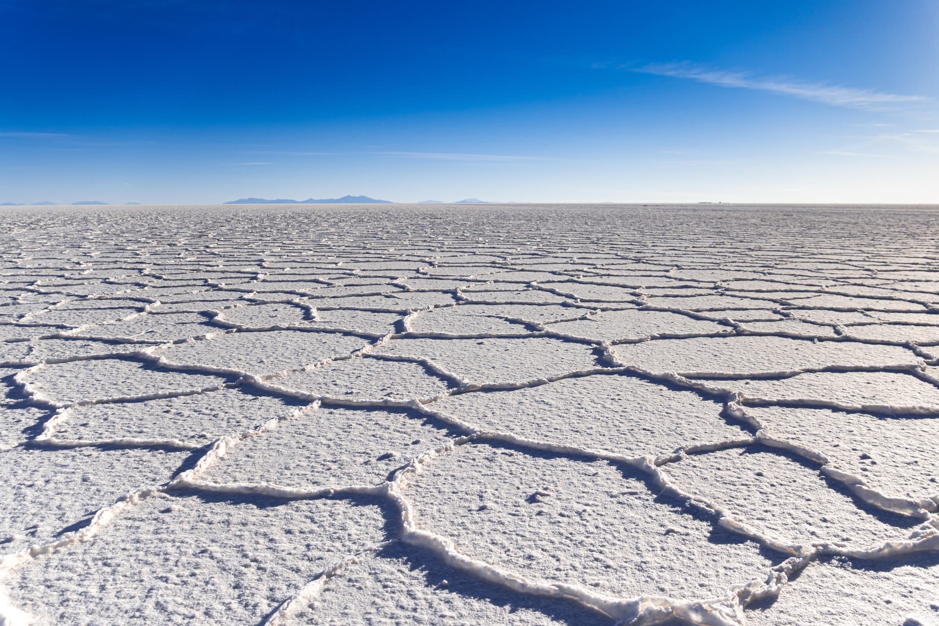
The salt flat offers a unique mineral landscape: a white expanse of over 10,500 km² at 3,658 meters elevation, dotted with volcanic islands populated by giant cacti, underground lagoons rising to the surface, and rusted train carcasses. During the rainy season, a thin layer of water transforms the ground into a natural mirror, creating a rare visual effect. For travelers coming from Perú, it's also an opportunity to extend an Andean route with a crossing through southern Bolivia.
History and Formation
Salar de Uyuni formed at the end of the Pleistocene, from the evaporation of Lake Minchin, an ancient lake of the Bolivian Altiplano. This process left behind a salt crust several meters thick, today covering an area of more than 10,500 km². An estimated 60 billion tons of salt lie here, and the subsoil holds the world's largest lithium reserves, a major economic stake for Bolivia.
The salt flat is also known for its role as an orbital reference point: its reflective surface makes it a site used for calibrating Earth observation satellites.
What to See
Incahuasi Island
Located in the heart of the salt flat, Incahuasi Island is a rocky outcrop covered with giant cacti reaching several meters in height, some centuries old. A trail circles it, offering 360-degree views of the white salt expanse from its summit.
Uyuni Train Cemetery
At the edge of the town of Uyuni, this site brings together the carcasses of locomotives and wagons that once transported minerals from Andean mines to Pacific ports. Abandoned since the early 20th century, these industrial relics have become one of the classic photo stops on the circuit.
Ojos de Sal
The "Eyes of Salt" are small pools formed by underground rivers flowing beneath the salt crust and rising to the surface. The water bubbles gently and underscores the fragility of this seemingly uniform salt plate.
The Dakar Monument
Carved from salt blocks, this monument commemorates the Dakar Rally's passage across the salt flat, whose 2018 edition included a stage on the salt crust.
When to Go
Two seasons offer very different experiences:
- Dry season, April to December: the ground is hard and cracked, forming characteristic regular polygons. This period facilitates 4x4 circulation and access to Incahuasi Island.
- Rainy season, starting in January: a thin layer of water covers part of the salt flat and produces the mirror effect reflecting the sky. However, certain areas become inaccessible.
Late December and early January often offer an interesting compromise, with both dry zones and portions already flooded.
Practical Information
Allow two to three days for a complete visit of the salt flat and its surroundings (colored lagoons, Sol de Mañana geysers, Siloli Desert). Most excursions depart from Uyuni by 4x4 with driver-guide.
A few useful recommendations:
- Pack warm, windproof clothing: nights frequently drop below 0 °C.
- Bring high SPF sunscreen and sunglasses: the glare reflecting off the salt is intense.
- Acclimatize to the altitude (3,658 m and higher) before the excursion to limit acute mountain sickness.
- Bring sufficient water; supply points are rare.
Getting There from Perú
Salar de Uyuni lies roughly 400 km as the crow flies southeast of Puno, but the route necessarily passes through Bolivia. Several options exist:
- Bus from Puno to La Paz: approximately 8 hours of travel, border crossing at Desaguadero or Kasani included.
- From La Paz to Uyuni: overnight bus (approximately 10 to 12 hours) or domestic flights (approximately 1 hour).
- Train from Oruro: Oruro station is connected to Uyuni by a comfortable rail line, an option appreciated as an alternative to the bus.
Nearby on the Peruvian Side
Before or after crossing into Bolivia, several southern Peruvian sites naturally complement the itinerary:
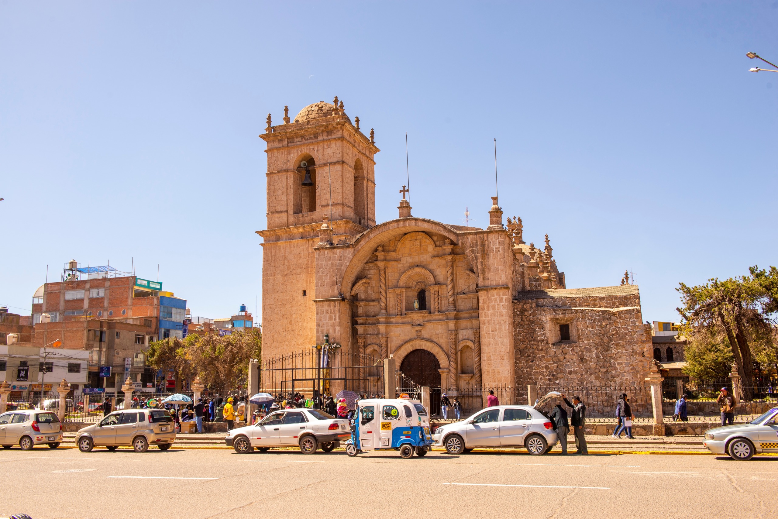
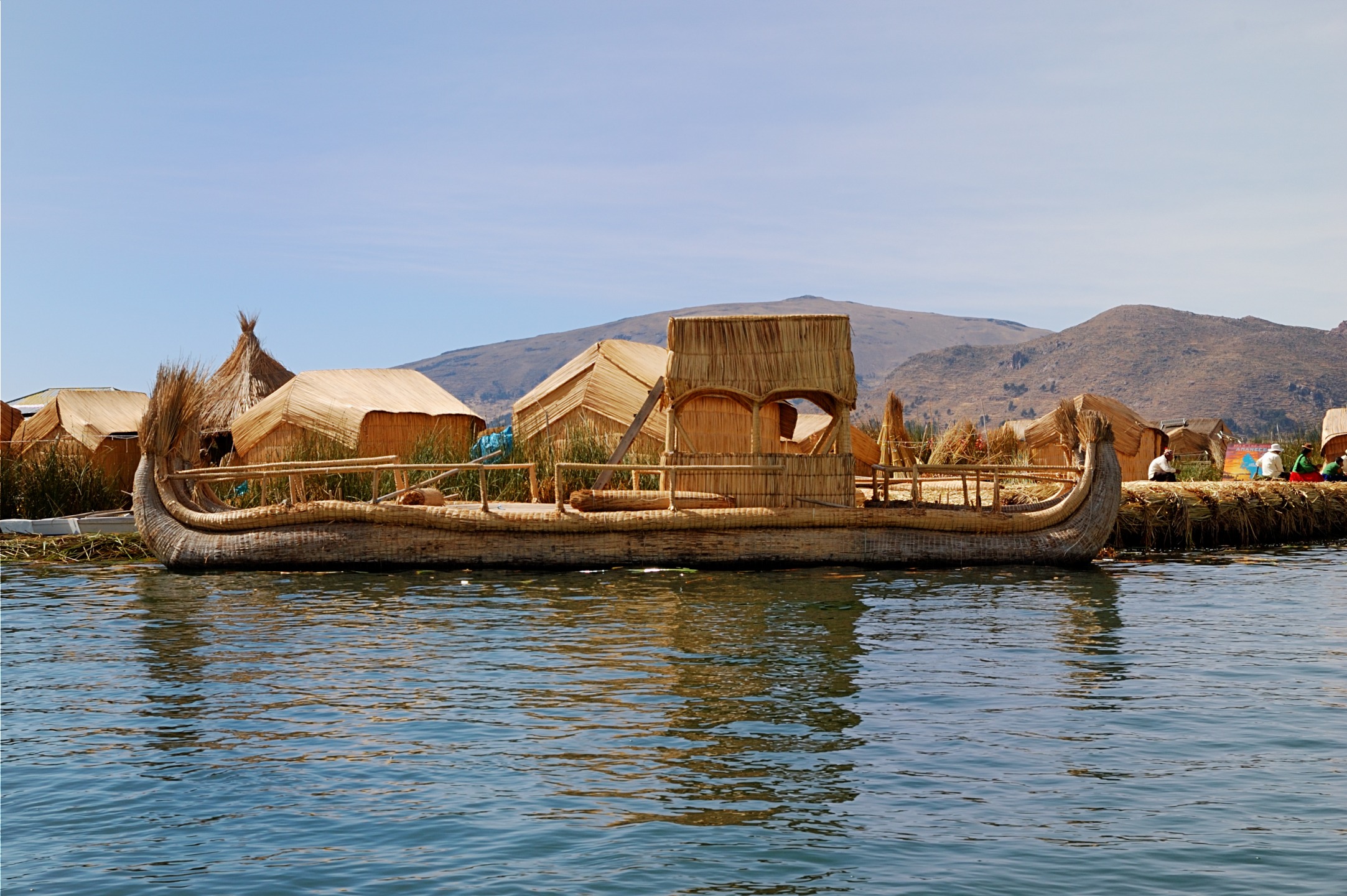
- Puno and Lake Titicaca, the logical starting point toward Bolivia.
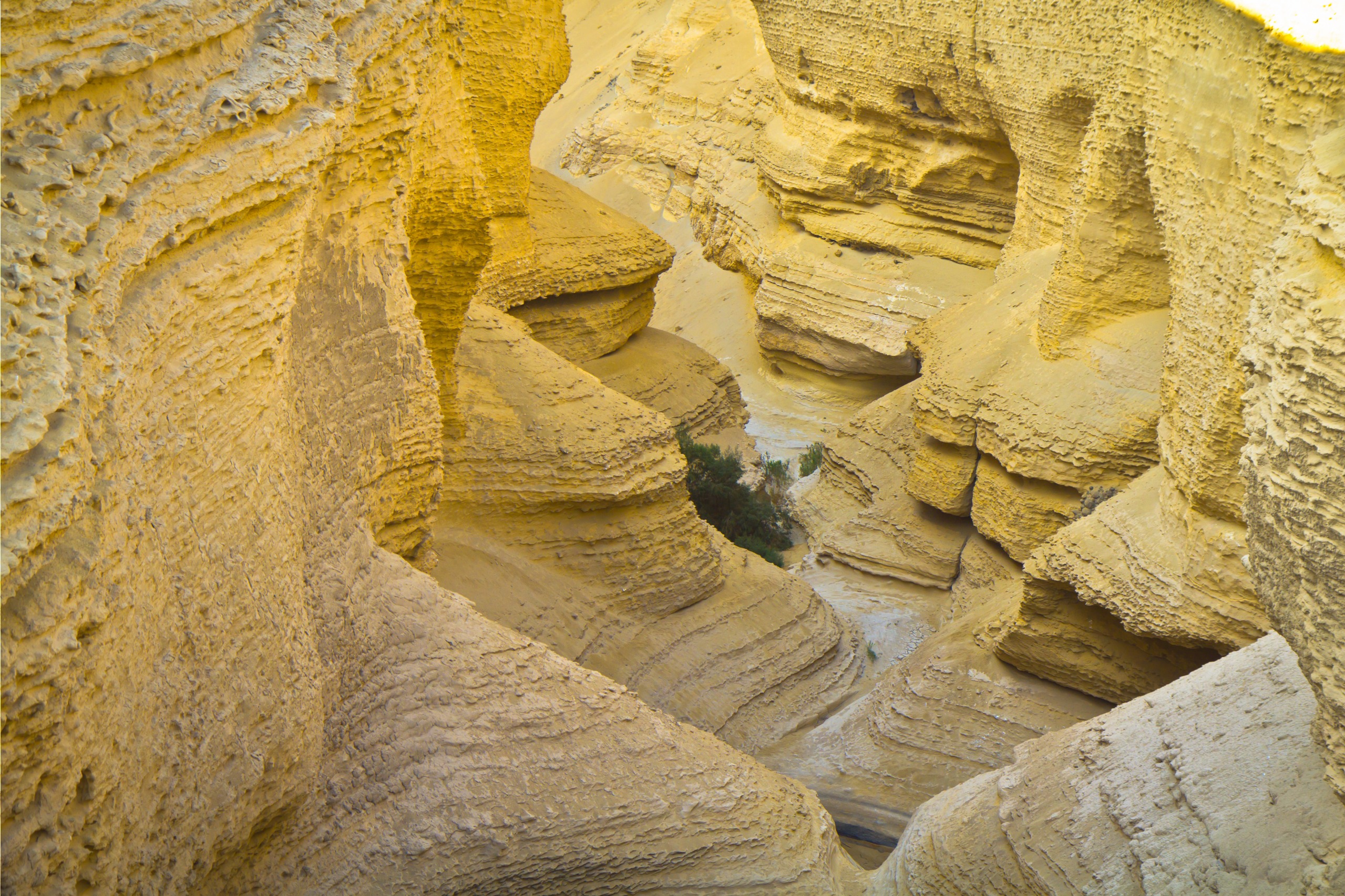
- The Tinajani Canyon, a spectacular geological formation in the Puno region.
- Vinicunca, the Mountain of Seven Colors, near Cusco.
- The Salinas Salt Ponds and Aguada Blanca Reserve, around Arequipa.
FAQ
Frequently asked questions
Plan Your Journey
Salar de Uyuni fits naturally into a Perú trip extended into Bolivia. Our specialist advisors can help you build a combined itinerary that includes the border crossing, the Altiplano, and major Andean sites.
Interested in this visit?
We can include it in your personalised itinerary.