Nazca
Nazca
À 450 km au sud de Lima, Nazca dévoile depuis le ciel ses 800 figures tracées il y a 2 000 ans dans le désert. Survol, sites annexes, itinéraires : tout pour préparer l'étape.
Located in the coastal and desert plains of Pérou, approximately 400 km south of Lima, the Nazca Lines draw travelers from around the world. Born from an entirely unique culture shrouded in mystery for humanity, the site takes its name from a pre-Incan civilization dating from 200 to 600 CE. The site is primarily celebrated for its geoglyphs etched into the desert near the city of Nazca.
History
The earliest accounts of these famous Peruvian geoglyphs appear in "Chronicle of Pérou", written by conquistador Pedro Cieza de León and published in 1553. The Nazca geoglyphs themselves were discovered in 1927 by Toribio Mejia Xesspe. Archaeologists date their creation to the pre-Incan civilization era. Commonly known as the "Lines and Geoglyphs of Nazca and Palpa," these works of art have been inscribed on the UNESCO World Heritage list since 1994. To this day, their creation remains a mystery to researchers.
In 1939, anthropologist Paul Kosok became the first to fly over the geoglyphs to study them. According to him, they represented an elaborate irrigation system developed by the Incas. In 2004, Professor Masato Sakai's team launched research in Nazca and ultimately established a laboratory there in 2012. In 2014, new figures were revealed following a sandstorm by Eduardo Herrán Gómez de la Torre. An agreement for the protection of the geoglyphs was signed in April 2015 with the Peruvian Ministry of Culture.
Exploring the Nazca Lines
The Nazca Civilization
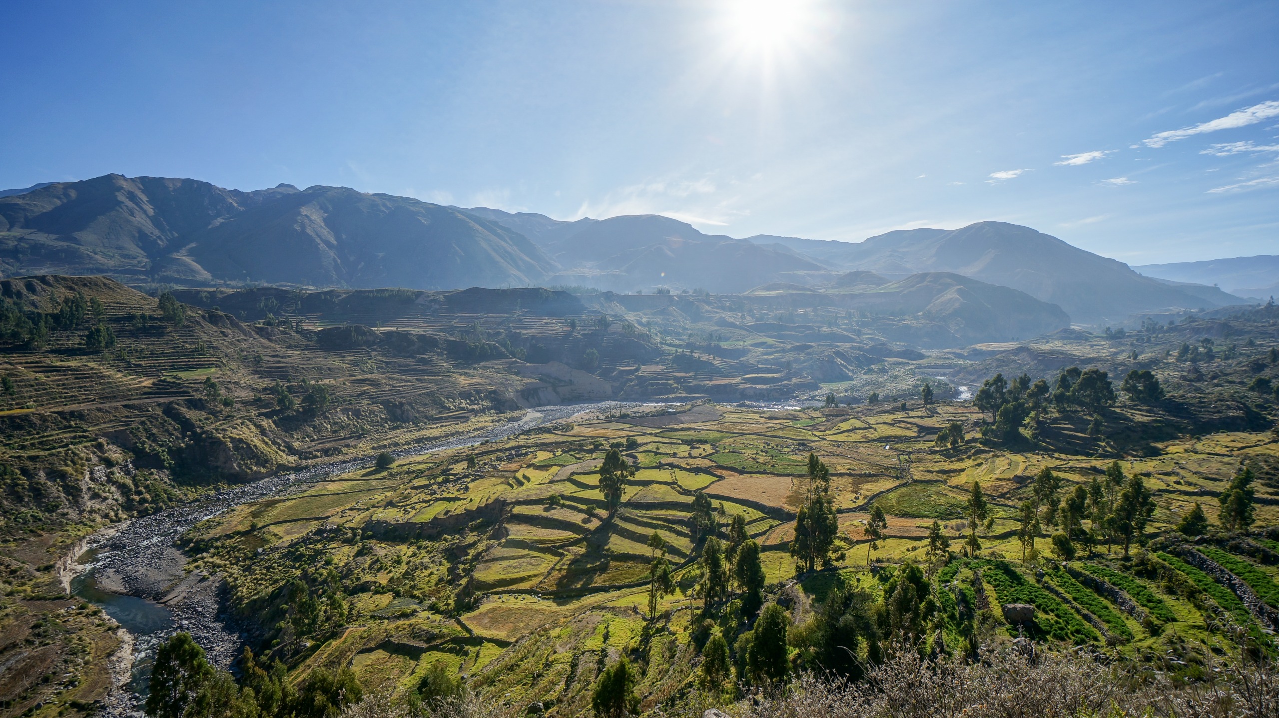
The Nazca people lived off intensive agriculture in the narrow valleys of the Rio Grande de Nazca and Ica. This civilization invested heavily in developing irrigation systems to enhance their cultivation and prevent water shortages in the desert. These canals remain functional today.
Most Nazca residents lived in straw-thatched huts outside the cultivable zone, in the surrounding desert regions. Historically, dwellings were clustered around an adobe pyramid that served as a sanctuary. The central city was Cahuachi, located 6 km from present-day Nazca. The site hosted ceremonies, featuring forty pyramidal summits topped with adobe structures. During religious rites, the heads of empire enemies were severed on pyramid-shaped altars. Another local custom involved reshaping the skulls of newborns to distinguish them from other peoples. The Nazca civilization declined suddenly around 350 CE, following a succession of earthquakes and floods. These natural disasters devastated agriculture. The local people lost faith in their gods and priests. The ruins of Cahuachi's buildings and sanctuaries persist to this day despite the passage of looters.
The Nazca Geoglyphs
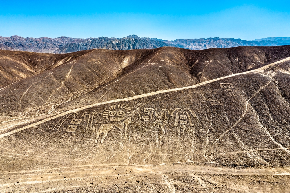
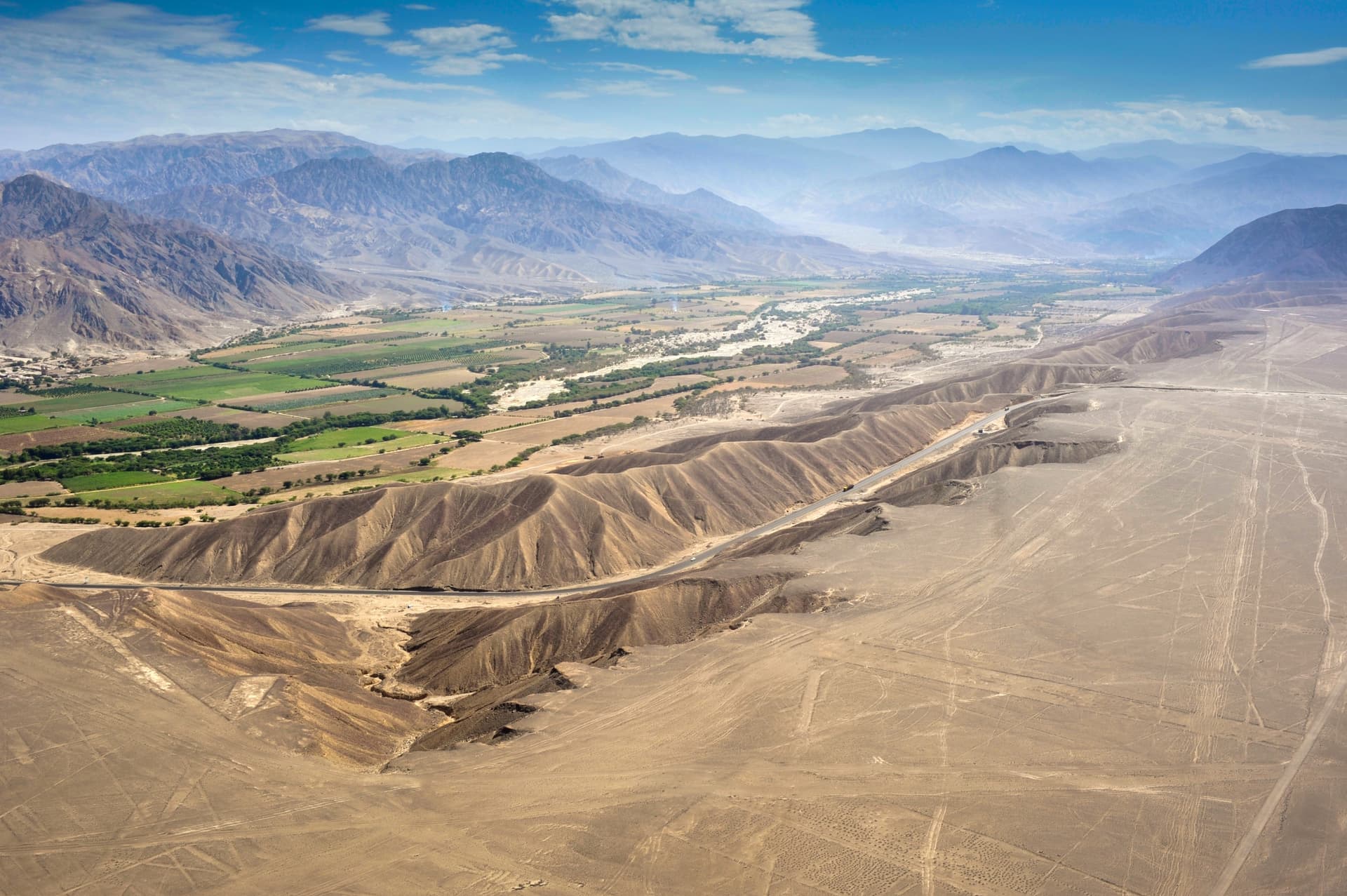
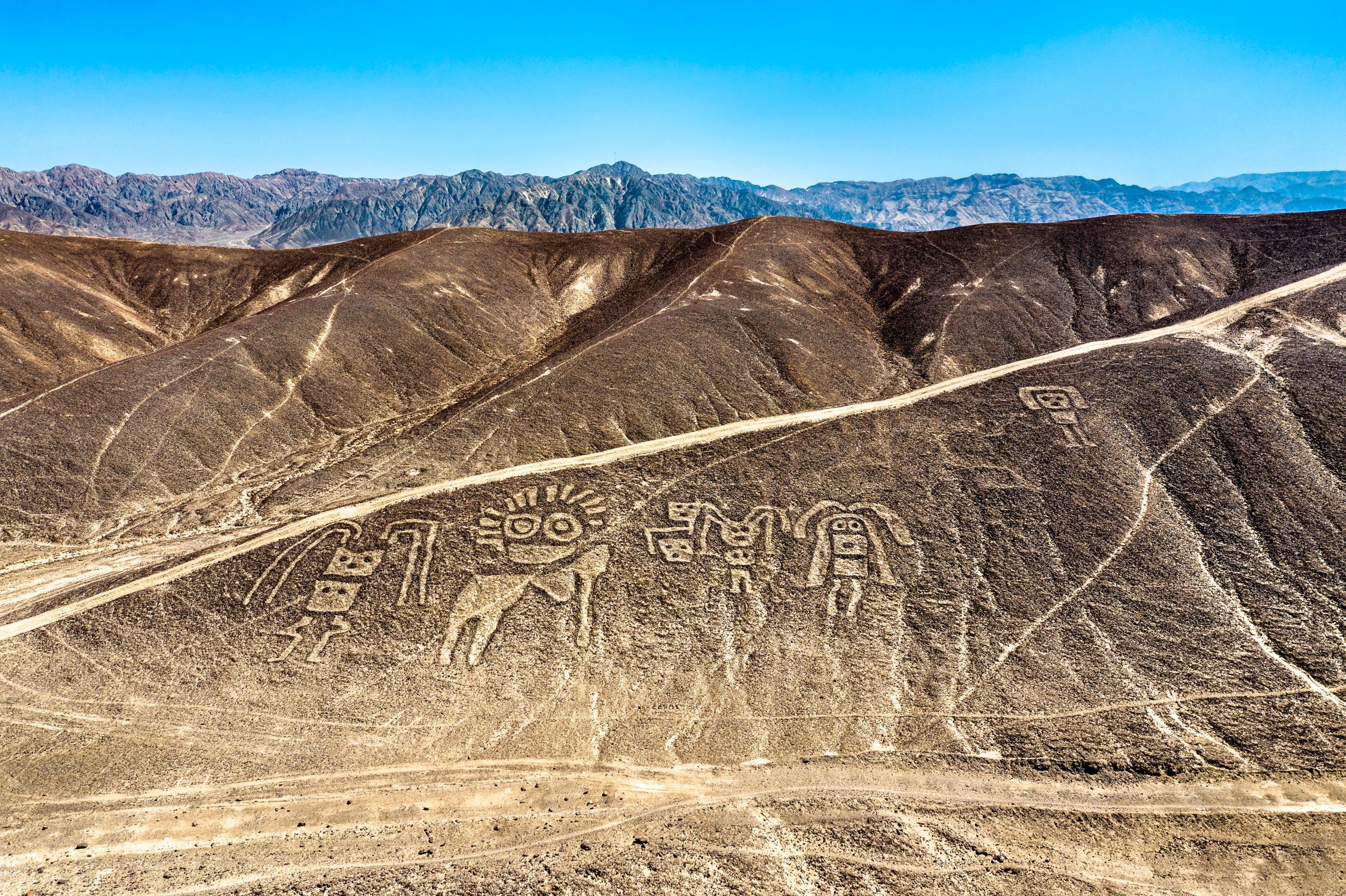
From the early twentieth century onward, researchers worked tirelessly to uncover the mysteries surrounding the Nazca geoglyphs. These tracings represent the animal divinities of the local religious pantheon. Viewed from the sky, they indeed take the form of animals and straight lines. The images span an area of 450 km² across the desert, distributed along a 50 km line connecting the cities of Nazca and Palpa. The arid microclimate and low human activity played a crucial role in preserving the geoglyphs for centuries.
According to archaeologists, the Nazca geoglyphs are copies of figures formed by celestial bodies meant to record their movements. The soil on which these lines are drawn is covered with reddish-colored stones due to iron oxide. After moving them, the Nazca people revealed grayish soil that created the outlines of the figures. The site comprises nearly 800 geometric figures formed by lines, spirals, ellipses, and triangles. There are also 70 biomorphic figures depicting plants and animals, such as monkeys, hummingbirds, jaguars, spiders, and more. In total, there are 350 representations. The geoglyphs cross ravines and climb hillsides while maintaining their forms, and most extend along continuous lines.
Why Did the Nazca Create the Geoglyphs?
Paul Kosok was the first scientist to propose a theory about the geoglyphs' significance. According to him, during the summer solstice, the rays of the setting sun aligned parallel with certain lines to form a gigantic astronomical calendar. This system served as a reference point for the Nazca to organize their agricultural and religious activities.
Other hypotheses suggest that the Nazca geoglyphs delineated spaces dedicated to the worship of gods and the dead. According to Dr. Lasaponara, the figures were part of an aqueduct network to address water scarcity.
The Role of María Reiche
How could one speak of the Nazca Lines without mentioning the work of María Reiche, who dedicated her entire life to them.
Maria Reiche was a German mathematician and archaeologist who devoted most of her life to the study and preservation of the Nazca Lines, a collection of pre-Columbian geoglyphs in the coastal desert of Pérou. She became famous as the "Lady of Nazca" for her tireless work protecting and promoting these mysterious geometric, animal, and human figures that stretch for kilometers across the desert.
Maria Reiche began studying the Nazca Lines in the 1940s and dedicated more than 40 years of her life to studying, mapping, preserving, and promoting these geoglyphs. She used her knowledge of mathematics and astronomy to discover that the geoglyphs were actually complex astronomical calendars used to measure time and agricultural cycles.
Maria Reiche worked closely with local communities and Peruvian authorities to protect the geoglyphs from looting and degradation. She also created detailed maps and guides for visitors, helping to make the Nazca Lines known worldwide.
Maria Reiche is considered a pioneer in the study and preservation of pre-Columbian geoglyphs, and her work has deepened our understanding of the history and culture of ancient Andean civilizations. In tribute to her contributions, she received several awards and distinctions in Pérou, as well as an honorary doctorate from the University of Dresden in Germany. Maria Reiche left a lasting legacy in the world of archaeology and cultural preservation, as well as an important testament to Andean history and culture.
To reach Nazca, take a local bus from Lima or Arequipa along the Pan-American Highway. You can also take the route through Cusco, Abancay, and Puquio. Bus fare costs 2 to 3 soles.
Want to discover this destination?
Our local advisors design your tailor-made trip.