Tinajani Canyon
Tinajani Canyon
Located 14 km from Ayaviri on the Peruvian Altiplano, Tinajani Canyon features red sandstone formations, pre-Incan petroglyphs and three ravines at 4,000 m altitude.
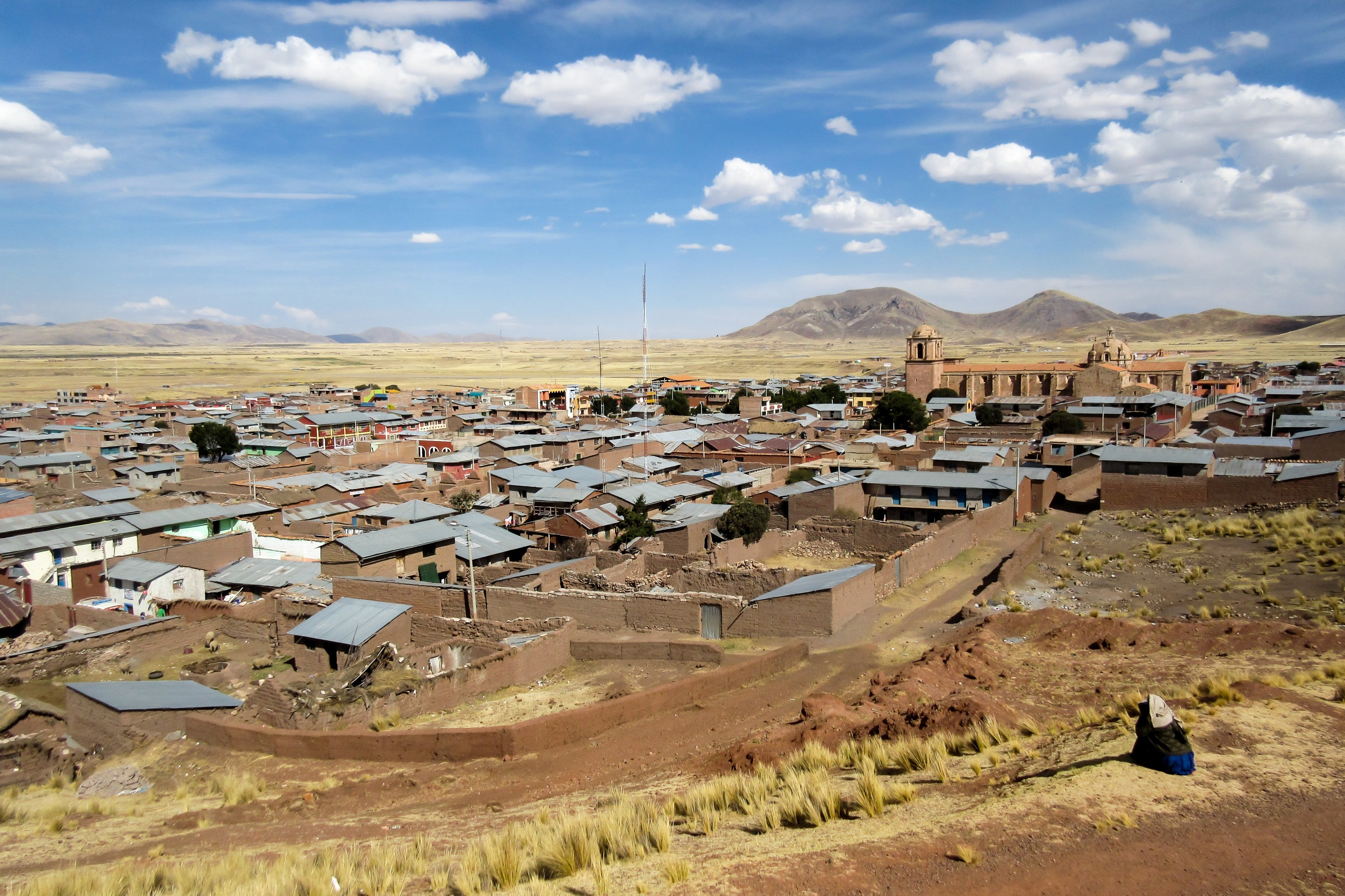
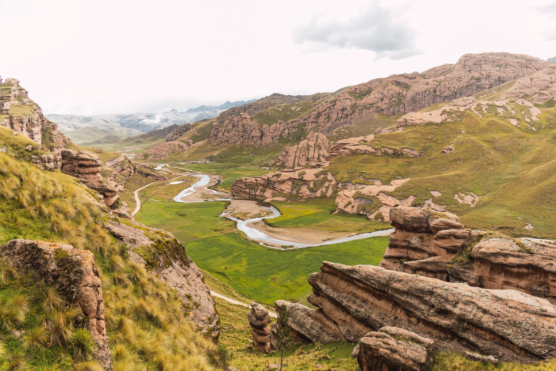
Tinajani Canyon stretches across the Peruvian Altiplano, 14 km from the village of Ayaviri and approximately 140 km from Puno, at 4,000 meters altitude. Its reddish sandstone formations, sometimes towering over 50 meters, trace a landscape of needles, towers and eroded silhouettes across 250 hectares. A geological, archaeological and cultural site, it remains off the beaten path of southern Peru's main tourist circuits.
Why visit Tinajani Canyon
Tinajani combines multiple interests rarely found on a single site. Its spectacular geology, sculpted from iron-rich oxidized sandstone, gives the rocks their ochre, red and deep orange hues. Wind and water erosion have shaped forms evoking towers, mushrooms, lizards or human silhouettes. Beyond this natural dimension lies a pre-Incan human occupation dating back approximately 3,000 years, with pictographs, petroglyphs and structures still visible today.
The canyon attracts geologists, hikers, photography enthusiasts and travelers interested in Andean cultures. Visitor numbers remain moderate, allowing for peaceful exploration among the llama and alpaca herders who inhabit the area.
History and cultural context
The region's geological history spans millions of years. Once submerged beneath water, the area was uplifted and fractured by volcanic and tectonic activity before erosion carved the sandstone layers into isolated formations. The high iron content in the rock, oxidized through contact with water and wind, accounts for its distinctive color.
Human occupation of the zone dates far back. Pre-Incan pictographs and petroglyphs testify to communities established some 3,000 years ago, living from the Altiplano's natural resources. In Quechua, Tinajani means "place where there are jars," referring to tinajas—traditional clay containers used to store water. Locally, the canyon is also known as "devil's canyon" or "stone forest."
Two legends accompany the site. The first tells of rocks as giants petrified by the sun, punished by the gods for their arrogance. The second evokes Inca Pachacútec who, facing drought, allegedly ordered the construction of three stone tinajas to purify a demon designated by his oracles as the cause of the plague. Some locals claim the devil still haunts the canyon during rainy nights.
What to see and do at Tinajani
Rock formations and the three ravines
The canyon covers approximately 250 hectares and comprises three major ravines: Huarachani, Pacobamba and Queñuacuyo. Each presents different concentrations of formations, best explored on foot. The large entrance boulder, called El Vigia, serves as a landmark to begin your visit.
Pre-Incan remains and Qaqallanku
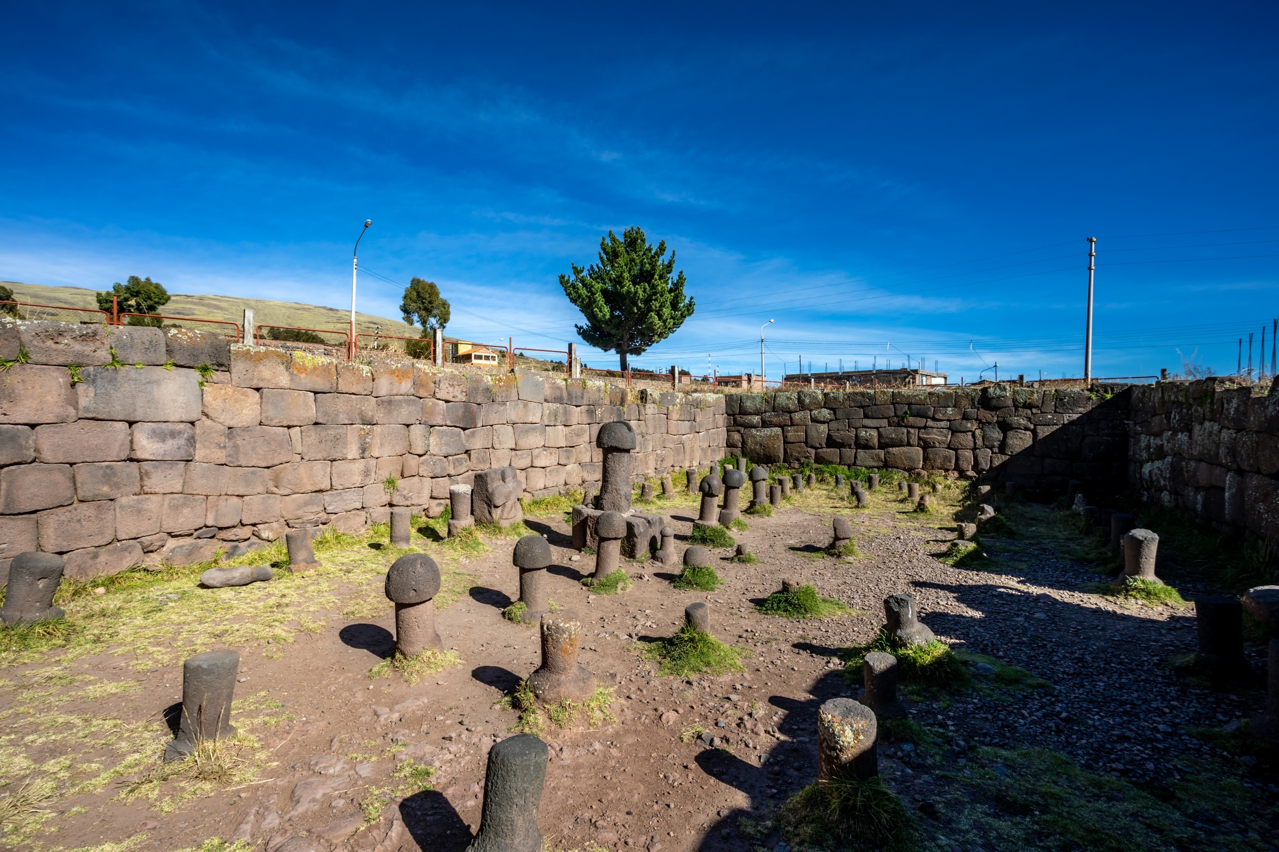
Beyond geological interest, the site holds archaeological significance. Pictographs and petroglyphs dot certain rock faces. Near the canyon lie the Qaqallanku, constructions of straw and clay measuring approximately 1.20 m in height. Several theories attribute them a pre-Incan funerary function, with the deceased possibly interred there alongside kitchen utensils.
Hiking and wildlife observation
Several trails wind between formations, ranging from easy walks to more demanding hikes with views over the Altiplano plain. Wildlife includes vicuñas, llamas and alpacas, while bird species encompass mountain caracaras, hummingbirds, Andean condors and falcons. Vegetation, sparse at this altitude, is dominated by cacti and shrubs adapted to the environment.
The site is favored by photographers at sunrise and sunset, when raking light accentuates the red hues and rock texture. According to local guides, complementary activities such as horseback riding or camping can be arranged; other pursuits (climbing, paragliding, mountain biking) remain informal and depend on available providers in Ayaviri.
Encounters with local communities
Communities living around the canyon are primarily llama and alpaca herders. Several events punctuate the year, including the Fiesta de la Cruz on May 3rd, marked by folk dances and processions. Holy Week, village patron saint festivals, folk festivals and seasonal celebrations (livestock fairs, harvest festivals) offer opportunities to discover Andean traditions.
When to visit Tinajani Canyon
Average temperature ranges from -2°C to 19°C, with significant day-night fluctuations due to altitude. The most favorable period extends from April to October, corresponding to the dry season on the Altiplano: clear skies, passable trails and crisp light for photography. From November to March, rains make tracks more challenging.
Pack warm clothing, windbreaker, sun protection and plenty of water. Prior acclimatization to altitude (Puno, Cusco) is recommended before your visit.
How to reach the canyon
From Puno by private vehicle
Private vehicle is the most flexible option from Puno. Allow several hours driving across the Altiplano, passing through Juliaca then Ayaviri. This solution allows you to stop freely along the way.
By bus or combi to Ayaviri
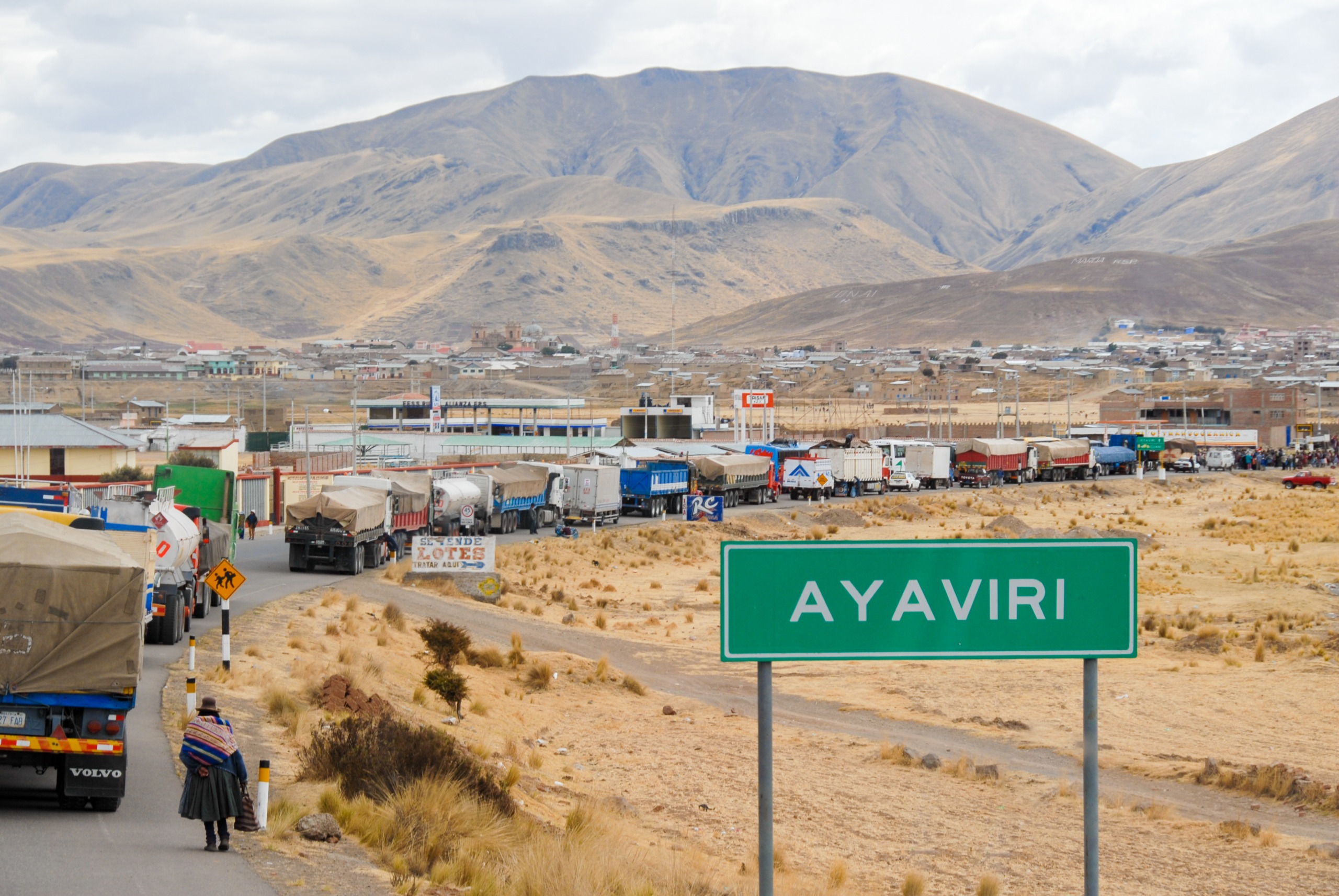
Buses and combis connect Puno to Ayaviri. Once there, a local taxi or mototaxi takes you to the canyon's entrance.
By mototaxi from Ayaviri
From Ayaviri, mototaxi is the simplest option to reach the canyon entrance. The journey takes approximately 10 minutes and drops visitors near El Vigia rock, a convenient starting point for exploration.
Practical information
- Altitude: approximately 4,000 m, plan for acclimatization
- Area: 250 hectares, three ravines (Huarachani, Pacobamba, Queñuacuyo)
- Duration of visit: half day to full day depending on chosen trails
- Guides: local guides available in Ayaviri, recommended for archaeological insights
- Equipment: hiking shoes, layered warm clothing, water, snacks, sun protection
- Accommodation: basic options in Ayaviri, wider range in Puno
Nearby attractions
Tinajani fits naturally into an itinerary through southern Andean Peru. The village of Ayaviri serves as your logistical base for the visit. Further north, the rainbow mountain (Vinicunca) extends the experience of colorful geological landscapes. Near Cusco, the Cusco planetarium and the village of Yucay in the Sacred Valley complete an itinerary combining nature, archaeology and Andean culture.
Frequently asked questions
Frequently asked questions
The canyon sits in southeastern Peru, in Melgar province, 14 km from the village of Ayaviri and approximately 140 km from Puno, at 4,000 meters altitude.
In Quechua, Tinajani means "place where there are jars," referring to tinajas, traditional clay containers. The site is also called "devil's canyon" or "stone forest."
The dry season, April to October, offers the best conditions. Average temperatures range from -2°C to 19°C, with cold nights due to altitude.
Half a day suffices for main viewpoints from El Vigia. To explore all three ravines (Huarachani, Pacobamba, Queñuacuyo) and observe petroglyphs, allow a full day.
The area hosts vicuñas, llamas and alpacas, plus birdlife including mountain caracaras, hummingbirds, Andean condors and falcons.
Mototaxi is the simplest solution from Ayaviri: approximately 10 minutes' travel to El Vigia rock at the canyon entrance.
Plan your trip
Tinajani Canyon fits naturally into an itinerary combining Puno, Lake Titicaca, the Sacred Valley and Cusco. To design a tailor-made journey including this little-known Altiplano site, explore our Peru travel suggestions.
Interested in this visit?
We can include it in your personalised itinerary.