Inca Trail: Peru's most famous hiking route
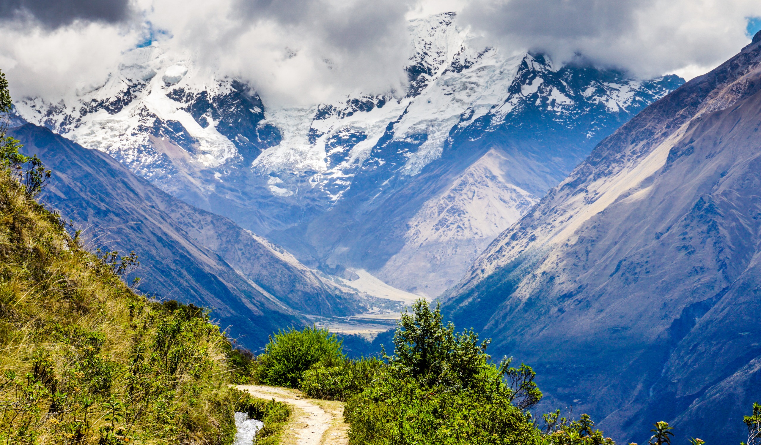
The Inca Trail is Peru's most renowned hiking destination, an unforgettable trek that comes with its share of challenges. Since its designation as a UNESCO World Heritage Site, only 500 people are permitted to hike it daily in Peru, and advance reservations are essential—slots must be booked well
Everything you need to know about the Inca Trail, an unforgettable trek
The Inca Trail is Peru's most renowned hiking destination, an unforgettable trek that comes with its share of challenges. Since its designation as a UNESCO World Heritage Site, only 500 people are permitted to trek it each day in Peru, and reservations must be made well in advance. With demand far outstripping supply, prices have become quite steep. The Inca Trail, or "camino del inca," which leads to Machu Picchu, is merely a small section of the Qhapaq Ñan, the "Great Road" in Quechua—a network spanning over 40,000 kilometers that once traversed the Andes and Pacific coast from southern present-day Colombia to the empire's northernmost boundary in what is today southern Chile.
The Qhapaq Ñan crosses six South American countries over nearly 6,000 kilometers. It passes through Colombia, Ecuador, Peru, Bolivia, Chile, and Argentina. Peru draws the greatest number of Inca Trail tourists because it boasts the best-preserved section, spanning nearly 80 kilometers, dotted throughout the trek with fortresses, outposts, temples, "tambos" (one might call them waystation lodges and service stations along the road), agricultural terraces, bridges, and countless engineering marvels of which only fragments remain.
Inca Trail: a touch of history…

The network of Inca roads emerged from the merger of all pathways laid out by earlier pre-Columbian civilizations, such as the Mochica, Chavín, Caral, and Nazca cultures. The Wari culture undertook the first unification of these routes into a vast communications network. The Incas then simply reinforced the roads, reconnected them, consolidated them, and protected them to build their colossal empire. The primary axis of the Inca Trail spans 6,000 kilometers, a road beginning at San Juan de Pasto in Colombia and extending to the south of Santiago, Chile. It was thanks to this route that the Incas established their economic and political power, with Cusco, the navel of the Inca empire, at its heart.
It is difficult to grasp what the Qhapaq Ñan truly represents—it is far more than a simple mountain footpath. In places, it widens to over 20 meters, winding through valleys to connect cities, temples, mines, and more, with elevations ranging from 800 to 5,000 meters. The Incas paved vast stretches with stone, carved enormous staircases into mountainsides, and more. The network represents a collection of engineering achievements unmatched anywhere in the world.
Today, it is essential to highlight the Qhapaq Ñan and protect it from time's wear, natural erosion, and especially human impact. Preserving this road is vital—it unified all Andean cultures and gave birth to one of the world's most magnificent and arguably the best-administratively-organized civilizations of its era, in comparison with those of Europe.
The Inca Trail in Peru, the best-preserved section
Peru is fortunate to possess the best-preserved stretches of the entire Qhapaq Ñan. One of the finest sections, spanning over 80 kilometers between Huari and Huánuco Pampa, the second-largest city of the Inca empire, is simply magnificent for those interested in the history of Andean civilizations. You can observe paved roads, bridges, ruins, canals, and more.
Numerous well-preserved sections exist in the Lake Titicaca region, and we have discovered one where we are the sole operators bringing visitors. The Qhapaq Ñan of Collasuyu passed by the great temple of Wiracocha near the village of Raqchi, and it is possible to walk a kilometer along this section near the temple site. There is also a beautiful stretch of the royal road that led to Emperor Wiracocha Inca's palace at Huchuy Qosqo. Another stunning portion runs from Chinchero into the Sacred Valley to the village of Urquillos. The finest and certainly longest Inca road is the one that allowed tens of Andean pilgrims to descend to the coast and reach the great religious complex of Pachacamac near Lima. These minuscule vestiges allow us to imagine the scale of the vast network that researchers are attempting to reconstruct today, at least mentally.
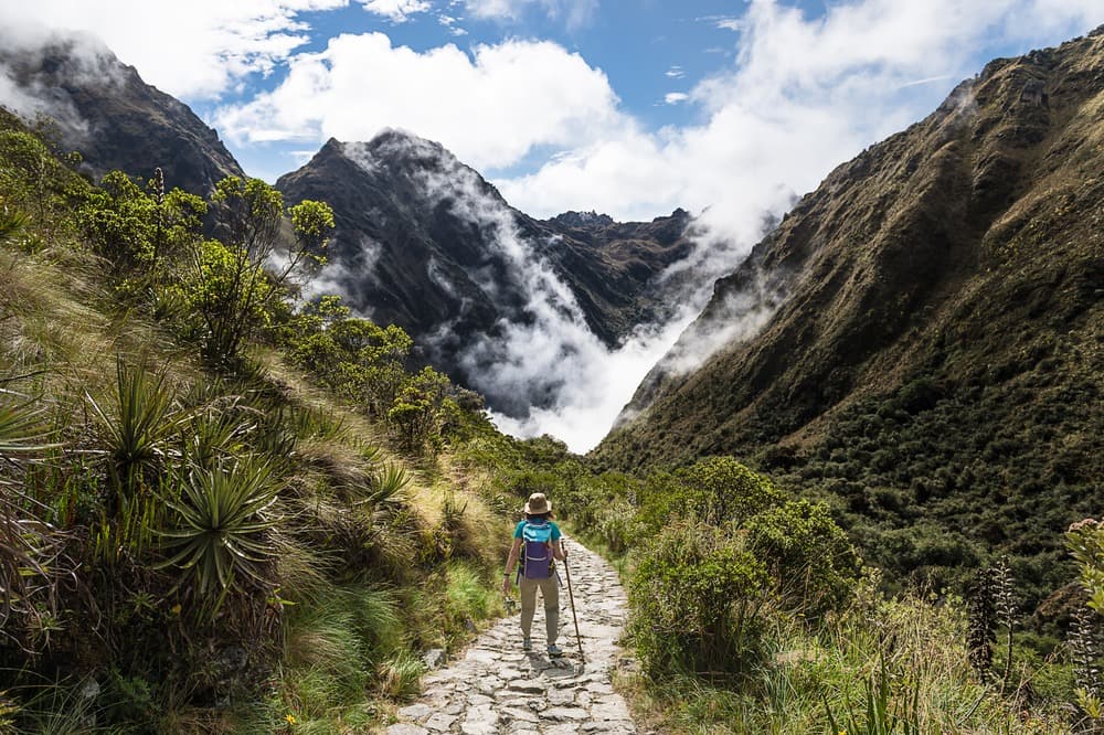
Ultimately, the four stages of the "Camino Inca" ("Inca Trail") in Peru—the 40 kilometers that, from the Sacred Valley, lead directly to the site of Machu Picchu, built during the reign of Pachacutec around 1440—are simply magical. These routes are now protected with varying degrees of effectiveness by the Peruvian government and designated by UNESCO to prevent their deterioration and allow a limited number of privileged visitors to traverse them, thereby immersing themselves in Inca civilization while walking to its most iconic city: Machu Picchu.